Nature Trail - Africa and the old farms
- Trail Conditions: On foot
- Interest: Flora, Panorama, Hystory
- Departure: Cimitero Monteveglio alto
- Duration: 1 hour/s
- Difficulty Level: E - Hiking (level)
- Length: 1.5 km
The itinerary is an ideal approach to the territory of the protected area and offers a broad overview of the landscapes, environments and historical evidence of the place.
The route develops mainly on dirt paths and can be muddy in some short stretches after the rains.
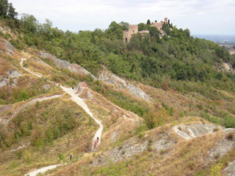
The route starts from the entrance to the medieval village and in the initial stretch runs along the steep slopes of the Cucherla Hill and then descends into the large gully basin from which the Rio Ramato originates. Leaving the gully area, the path follows for a short distance the valley of a tributary of the Rio Ramato and then enters a typically hilly strip of wood, whose undergrowth preserves precious orchid blooms and rare and protected herbaceous species. At the exit from the wood, the landscape of "old cultivations" opens up, lands that until a few decades ago were cultivated or used for grazing and still retain structures and elements that recall the traditional agricultural landscape.
Within the area there is also a small artificial pond, built in the 90s to serve the environmental education activity. From the area of the old cultivated fields, the path goes up along other abandoned fields and in part already recaptured by the spontaneous vegetation to emerge near the cemetery a few steps from the access tower to the village.


 Download KMZ


