Parks.it Homepage

Parco Naturale Regionale delle Alpi Liguri

www.parconaturalealpiliguri.it
 

Itineraries

Winter Itineraries

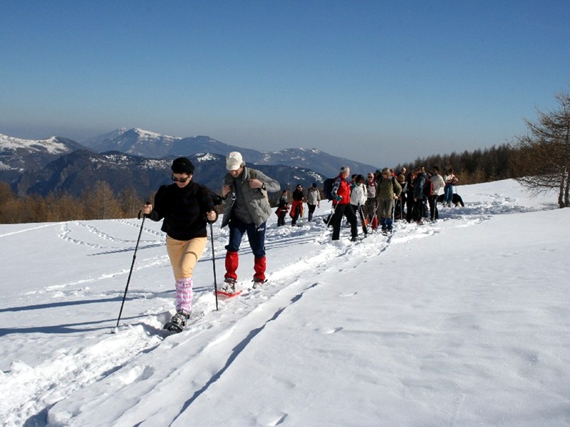
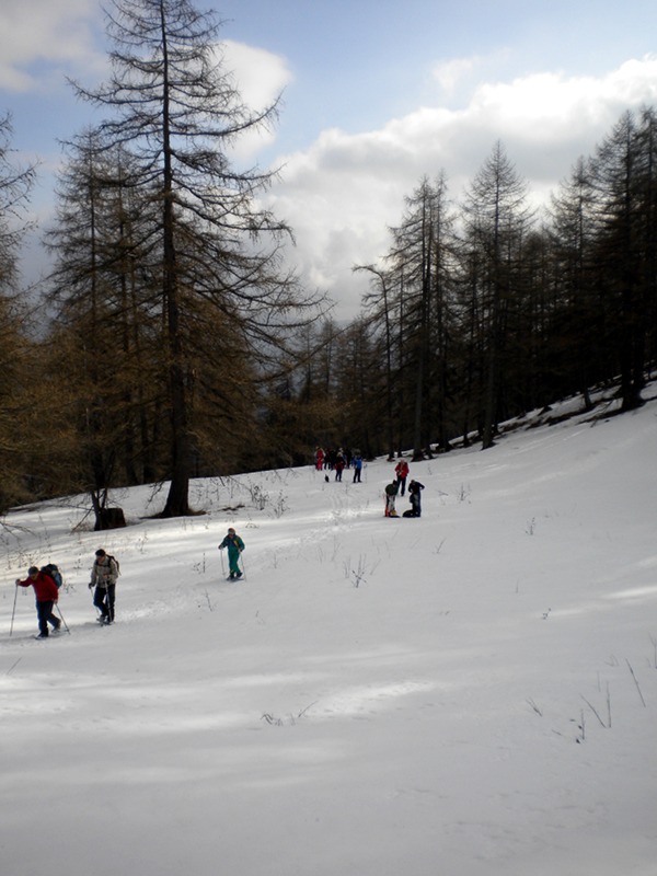
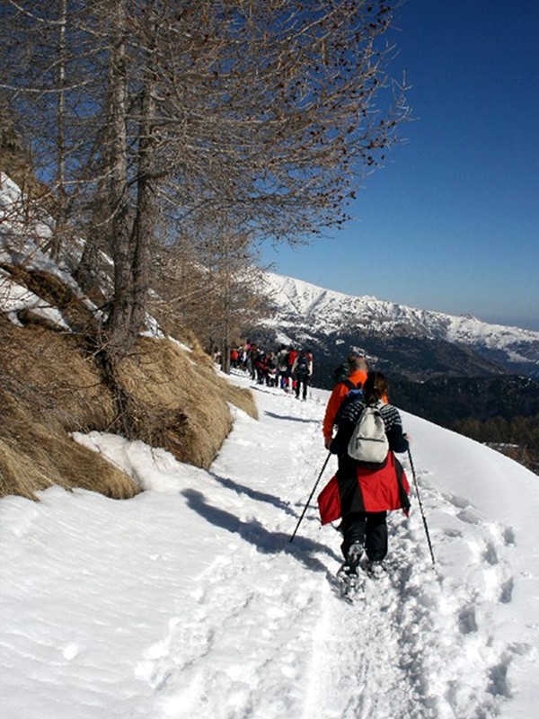
Also in the coldest months of the year, the territory of Alpi Liguri Park offers the opportunity to appreciate nature and the uncontaminated landscapes of its snow-clad mountains, thanks to the several itineraries you can carry out with snowshoes (the so-called "ciaspole"). There are several ideas for a one-day winter trekking: crossing Navette larch tree woodland and Valle dell'Angelo or walking along Monesi ski tracks, following the slopes of Mt. Saccarello up to the statue of the Savious, leaving from Colle Melosa to reach Cima Marta or the mountains Grai, Toraggio and Pietravecchia.
Near these destinations, the Park welcome centers offer the possibility to rent all the necessary equipment.

Snowshoeing in Navette Woodland
Margheria Garlenda Itinerary
Map with georeferenced itinerary
Typology: On foot,
Difficulty Level: EE - For expert hikers
Duration: 4 h 30 m
Interest: Panorama, Photography
Navette Woodland Itinerary
Map with georeferenced itinerary
Typology: On foot,
Difficulty Level: EE - For expert hikers
Duration: 5 h 30 m
Interest: Flora, Wildlife, Panorama

Alta Via dei Monti Liguri

The Alta Via dei Monti Liguri represents the main northern connection directly linking the GTA and the Via Alpina, the bordering territories of the Provinces of Cuneo, Savona and the French department of the Maritime Alps, connected to the Imperia's valleys also through transboundary rings. The network is completed by the downhill routes along the main ridges (the "marenche" ways, mule tracks and routes of the historical road network).

Map with georeferenced itinerary
Typology: On foot
Difficulty Level: E - Hiking (level)
Interest: Flora, Wildlife, Panorama, Photography
Map with georeferenced itinerary
Typology: On foot
Difficulty Level: E (EE if you take the Sentiero degli Alpini)
Interest: Flora, Wildlife, Geology, Panorama, History, Photography
Map with georeferenced itinerary
Typology: On foot
Difficulty Level: E - Hiking (level)
Interest: Flora, Wildlife, Geology, Panorama, History, Photography
Map with georeferenced itinerary
Typology: On foot
Difficulty Level: E - Hiking (level)
Interest: Flora, Wildlife, Geology, Panorama, Photography
Map with georeferenced itinerary
Typology: On foot
Difficulty Level: T - Tourist (level)
Interest: Flora, Wildlife
share-stampashare-mailQR Codeshare-facebookshare-twitter
© 2024 - Ente Parco delle Alpi Liguri