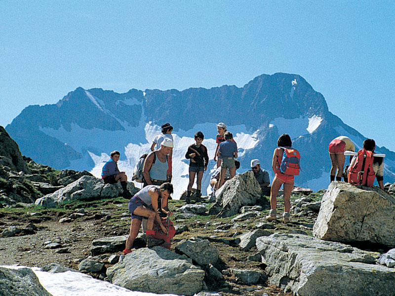
Colle di Fenestrelle: A View over Gelàs and Argentera
- Trail Conditions: On foot
- Departure: Area attrezzata del Lago della Rovina (1,150m)
- Arrival: Vallone di Fenestrelle (2,463m)
- Duration: 2 hour/s 45 minutes
- Difference in height: 950m
Near Lago della Rovina recreational area, a service road leading to Chiotas hydroelectric power plant leaves. This road was abandoned because of landslides and falling rocks problems. Although in the past this itinerary was the most used by hikers to reach the dam and Genova mountain hut, after the recovery of the old trail directly climbing to the dam, it is recommended to follow this second itinerary, steeper but without a doubt safer.
A sign placed near the small house of the recreational area marks the beginning of the trail. The trail steeply climbs with several hairpin bends and goes beyond some rocky spurs, to reach the former Enel service road near the dam. Once you reach a junction, take the uphill trail on the left; after touching the dam crown, continue along the shore of the artificial basin. A pole with a sign to Colle di Finestrelle marks the point where the carriage road (leading in 10 minutes to Genova mountain hut) must be abandoned to take on the left the beautiful mule track climbing along Vallone di Fenestrelle until the 2,463m of the pass.


