Red itinerary (south-west zone)
- Trail Conditions: On foot
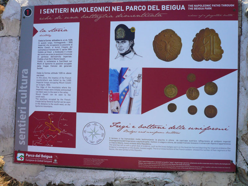
From the Pian di Stella picnic area (1,220 m) one takes the flat dirt road westwards. After about one hundred meters one overlooks the detour leading to an ancient but recently renovated "hotel" and goes on up to an other detour on the left reaching Costa la Corma's ridge. Going westwards one reaches one of the most panoramic points in the whole itinerary (m 1,192; boundary stone No. 1). The view of Mount Cavalli is extraordinary and represents an observatory allowing visitors to understand the movements of the french troops attacking its position. Once back to the dirt road one goes on up to a hairpin curve to the left (m 1,170).
Further information2 lap of: Napoleon's paths
© 2024 - Ente Parco del Beigua


 Download KMZ
 Download the GPX format


