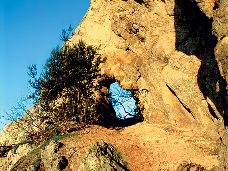
No 11 - Mt. Cinto Trail
- Trail Conditions: On foot
- Interest: Geology
- Departure: Loc. Cava Bomba - Cinto Euganeo
- Arrival: Loc. Cava Bomba - Cinto Euganeo
- Duration: 1 hour/s 30 minutes
- Difficulty Level: E - Hiking (level)
- Length: 4.9 km
- Difference in height: 267m
The trail starts 100 metres away from the square outside the Cava Bomba geo-paleontological museum on the left-hand side of the road, towards the town centre of Cinto Euganeo.
The trail climbs the chalky southern slope of Mount Cinto. After passing by a stone cottage, it runs along the edge of a terraced vineyard surrounded by olive trees and then climbs through a forest of black locust trees. Keep walking along the bridleway that crosses a thermophile oak forest full of white oak, South European flowering ash, tree heather, rock-rose, butcher's broom and wild asparagus. After a short uphill bend with a wooden fence, you'll reach level ground where the old dirt road once used by rhyolite quarrymen ends up. Here you'll come across masegne: volcanic blocks of stone used as park benches. From the level ground, keep left and walk along the bridleway through the chestnut forest. After a few gentle bends in the road, the view looks out over the central-southern hills from Mount Venda to nearby Gemola and Villa Beatrice d'Este, as far as distant Mount Rua and the hills of Monselice and Baone.
Further information


 Download KMZ
 Download in GPX format


