Itinerary to visit the Mount Brione Nature Reserve
- Trail Conditions: On foot
- Interest: Flora, Panorama
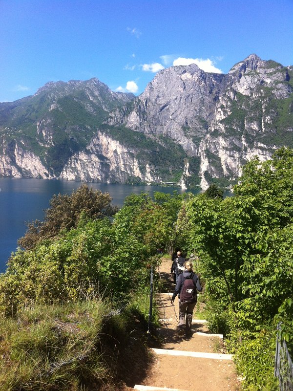
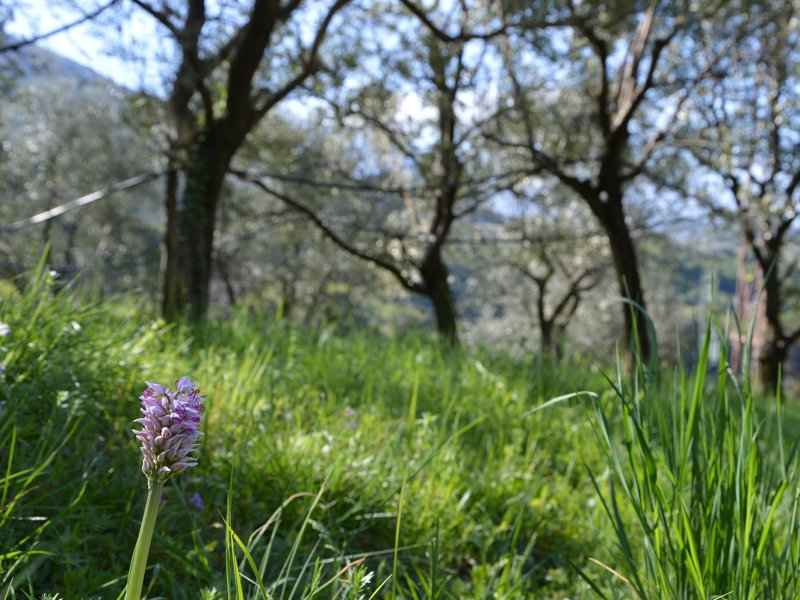
Near the S. Nicolò harbor in Riva del Garda the path leading to the Mount Brione nature reserve begins. It runs along the southern ridge, and it takes less than two and a half hours to reach the summit of what was a post-glacial island. The southeastern slopes are delimited by sedimentary rocks with layers rich in fossils of marine organisms, while on the other sides the hill gently decreases with large terraces cultivated with olive trees.
The path, which can be only walked on foot, remains on the way up, and it is made more comfortable by some steps and protected by a metal rope in the outermost and most panoramic points, where visitors can enjoy a beautiful view of the Garda Lake.
From above it is well visible the mouth of the Sarca river which, until the correction carried out in 1919, consisted of secondary branches flowing through the lands of Torbole, and they were used to water the vegetable gardens and as a safe shelter. The botanical significance of Mount Brione is well known and widely documented by several publications: this richness is originated by the mild climate caused by the Garda Lake, which creates a sub-mediterranean oasis in a pre-alpine context. The itinerary follows a stretch of the Sentiero della Pace, a route connecting the places and the memories of World War I in Trentino, from theStelvio to the Marmolada, for hundreds of kilometers.
The Military Staff of the Austro-Hungarian Empire took advantage of the strategic location of Brione Mountain, they built several fortresses which, on the occasion of the 100th anniversary of World War I, have been restored and enhanced. The territory of the reserve is very wide (65 hectares) and it can be visited on foot or by bike, through the many paths going into the olive tree cultivations, and branching off over the whole length of the Mount.


 Download KMZ


