Route 695
Campocatino - Fonte del Pozzotello - Passo del Diavolo - Pratiglio di S.Onofrio - Monte Femmina Morta
- Trail Conditions: On foot
- Interest: Wildlife, Panorama
- Departure: Campocatino (1,799m)
- Duration: 2 hour/s 50 minutes
- Difficulty Level: EE - For expert hikers
- Length: 8.6 km
- Difference in height: Uphill 495m - Downhill 562m
- Minimum Altitude: 1,445m
- Maximum Altitude: 1,940m
Ring-route
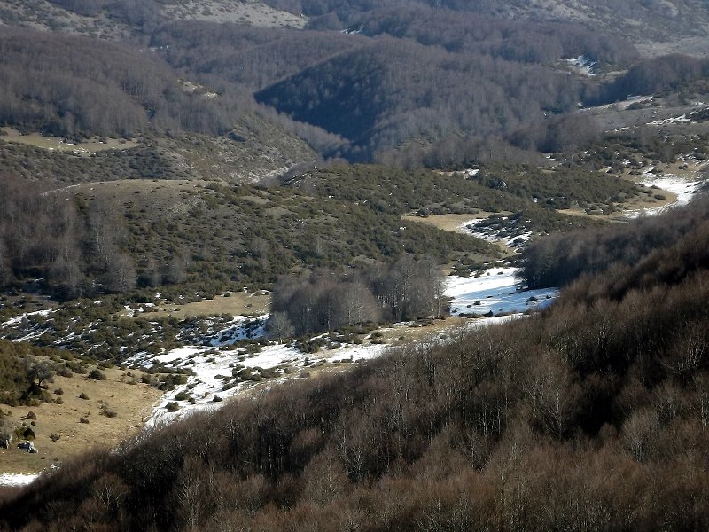
Once reached Campocatino one climbs up to the CAI mountain hut. From there one finds the yellow-red markers along the gravel ridge almost up to the summit of Mount Vermicaio. One soon climbs down to reach a mountain pass, where one crosses a slightly uphill dirt road. Following the street one turns left and takes the steep slope leading to the Fonte di Pozzotello. From here one goes on downhill, crosses a meadow and enters in the forest again. The slope becomes steeper and wild up to the intersection with a dirt road (Passo del Diavolo).
Books and Guides
© 2024 - Parco Naturale Regionale Monti Simbruini


 Download KMZ
 Download in GPX format


