Route E1a
Path Europa: Camporotondo - Filettino - Campocatino
- Trail Conditions: On foot
- Interest: Panorama
- Departure: Camporotondo
- Arrival: Campocatino
- Duration: 8 hour/s 30 minutes
- Difficulty Level: EE - For expert hikers
- Length: 25.3 km
- Difference in height: Uphill 1,595m - Downhill 1,208m
- Minimum Altitude: 963m
- Maximum Altitude: 1,801m
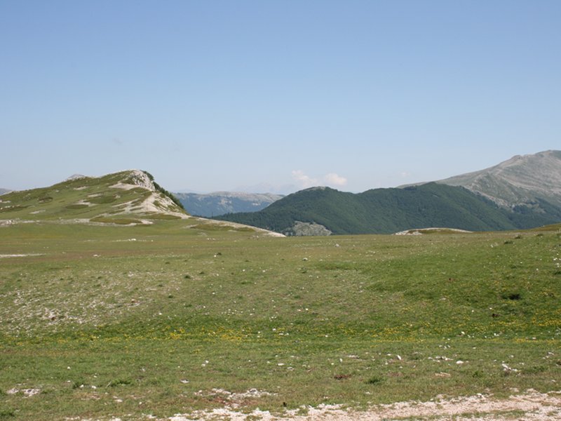
The Path Europa (E1) develops along about 6,000 km from North Cape (Norway) to Capo Passero (Italy), crossing six nations. From the ski resort of Camporotondo one follows the dirt road crossing the valley of the same name.
Further informationBooks and Guides
© 2025 - Parco Naturale Regionale Monti Simbruini


 Download KMZ
 Download in GPX format


