Route 610
Campo Catino - Pratiglio S. Onofrio - Filettino (Sentiero Italia)
- Trail Conditions: On foot
- Interest: Flora, Panorama
- Departure: Campo Catino
- Arrival: Filettino
- Duration: 3 hour/s 40 minutes
- Difficulty Level: E - Hiking (level)
- Length: 10.70 km
- Difference in height: Uphill 205m - Downhill 1,000m
- Minimum Altitude: 966m
- Maximum Altitude: 1,800m
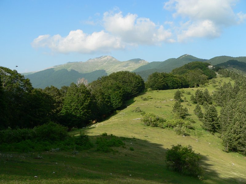
This path coincides with the Sentiero Italia, with departure from the square of the ski resort in Campo Catino up to Filettino's center.
Further informationBooks and Guides
© 2025 - Parco Naturale Regionale Monti Simbruini


 Download KMZ
 Download in GPX format


