Lazio
Regional Parks
Apennines
Parco Naturale Regionale Monti Simbruini
www.parcomontisimbruini.it
Home
Protected Area
Points of Interest
Visitor Centers
Itineraries
Facilities
Education
Accommodation
Localities
Calendar of Events
Local Products
Books, DVDs, and Gadgets
Galleries
Weather Forecast
Directions
Contact Us
Interactive Map
Home
»
Itineraries
»
Trails on foot
Route 692c
Ponte S.Teodoro - S. Maria della Portella - Fontanile Capo d'Acqua - Arco di Trevi - SR 411
Trail Conditions:
On foot
Interest:
Panorama, Hystory
Departure:
Ponte San Teodoro
Arrival:
Arco di Trevi
Duration:
1 hour/s 50 minutes
Difficulty Level:
T - Tourist (level)
Length:
6.4 km
Difference in height:
Uphill 380m - Downhill 127m
Minimum Altitude:
689m
Maximum Altitude:
974m
Further information
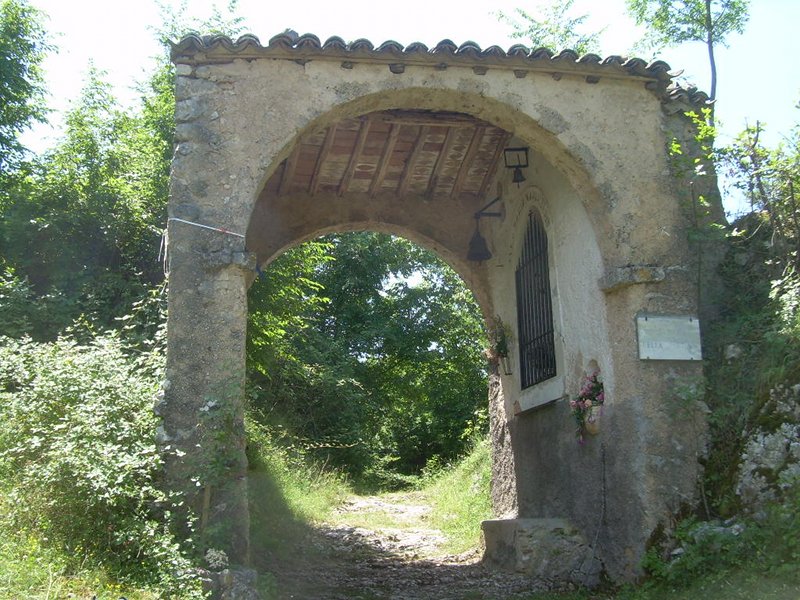
Itinerary 692c: Arch Santa Maria della Portella
Download KMZ
Download in GPX format
Points of Interest
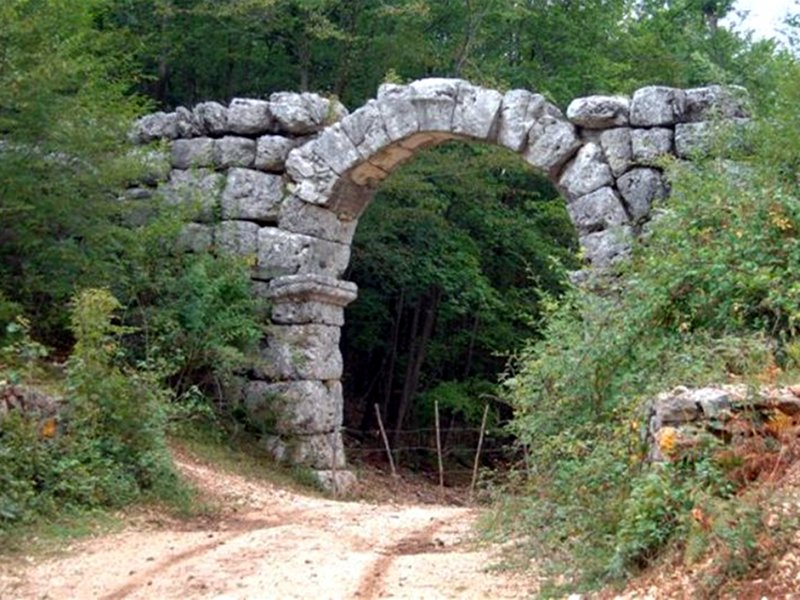
Arch of Trevi
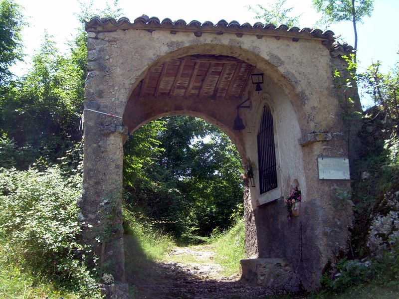
Niche of Santa Maria della Portella
Books and Guides
Hiking map of the Monti Simbruini Regional Nature Park (scale 1:25.000) - 4th Edition
Price:
10.00 €
Item Available at Emporio dei Parchi
Sentieri del Parco dei Simbruini
Price:
10.00 €
Item Available at Emporio dei Parchi
Protected Area
(29.990,00 ha)
Lay-out of the itinerary
Departure
Arrival
Park Authority Offices
Visitor Centers (9)
Where to Sleep* (1)
Municipalities (8)
Points of Interest (78)
Photos (153)
Videos (21)
Pic-Nic Area (36)
EV charge ≥100kW (286)
E-Bike charging (9)
Airports (1)
Highway exits (1)
Detailed Map
*: only Operators with Accommodation Page
en
© 2024 - Parco Naturale Regionale Monti Simbruini