Lazio
Regional Parks
Apennines
Parco Naturale Regionale Monti Simbruini
www.parcomontisimbruini.it
Home
Protected Area
Points of Interest
Visitor Centers
Itineraries
Facilities
Education
Accommodation
Localities
Calendar of Events
Local Products
Books, DVDs, and Gadgets
Galleries
Weather Forecast
Directions
Contact Us
Interactive Map
Home
»
Itineraries
»
Trails in Mountain Bike
MTB 21. C/Subiaco - Ponte Sant'Antonio - Cascata Comunacque
Trail Conditions:
By bike
Departure:
Subiaco
Arrival:
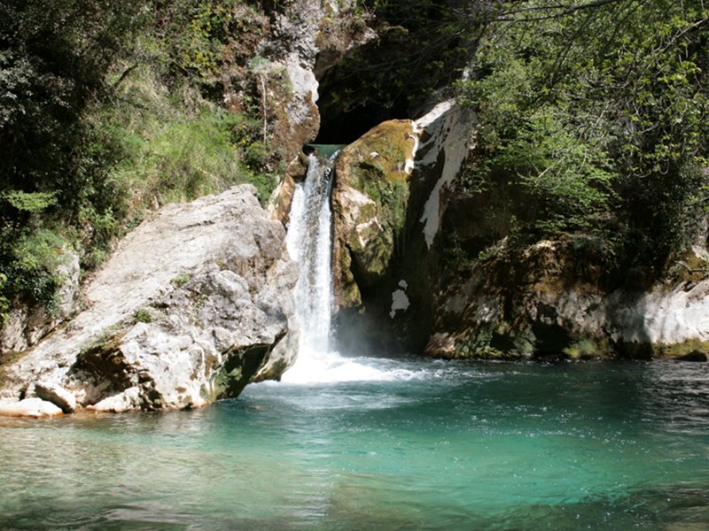
Cascata Comunacque
Length:
24.5 km
Difference in height:
1,033m
Minimum Altitude:
378m
Maximum Altitude:
589m
Further information
Download KMZ
Download in GPX format
Points of Interest
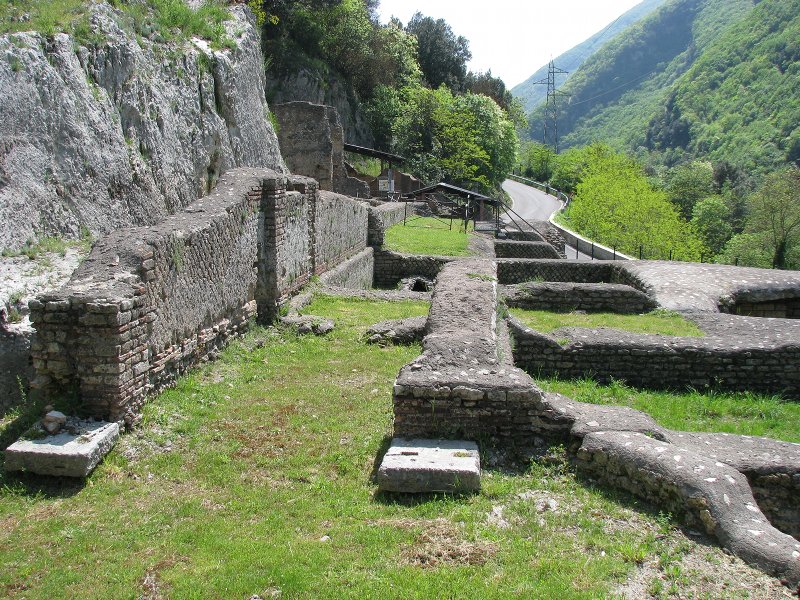
Villa of Nero
Lake of San Benedetto
Spring of Trevi in Lazio
Books and Guides
Hiking map of the Monti Simbruini Regional Nature Park (scale 1:25.000) - 4th Edition
Price:
10.00 €
Item Available at Emporio dei Parchi
Biketour Simbruini (MTB hiking map in scale 1:25.000)
Price:
10.00 €
Item Available at Emporio dei Parchi
Protected Area
(29.990,00 ha)
Lay-out of the itinerary
Departure
Arrival
Park Authority Offices
Visitor Centers (9)
Where to Sleep* (2)
Municipalities (8)
Points of Interest (78)
Photos (153)
Videos (21)
Pic-Nic Area (36)
EV charge ≥100kW (286)
E-Bike charging (9)
Airports (1)
Highway exits (1)
Detailed Map
*: only Operators with Accommodation Page
en
© 2025 - Parco Naturale Regionale Monti Simbruini