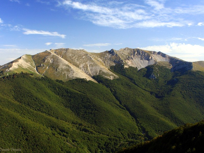
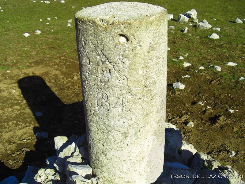
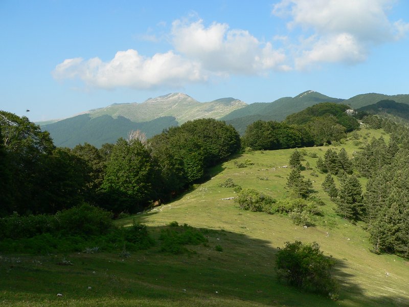
The full Viglio ridge… if you don’t miss the bus !
The title jokes on the fact that this hike is dependent on a bus transfer. In the Italian title there is a rhyme that is lost in the translation
This hike runs through the entire scenic ridge of Mt. Viglio which, at 2156 meters high, is the highest elevation of the Simbruini-Ernici system. In the lower part of the route we will enjoy beech woods and glades too. An excursion that is deservedly included among the must-do's of the Central Apennines even if limited to the first part of the itinerary with a round trip on the same route, made even more varied and complete - for the hiker who can afford it - by following the variant we are proposing here.
Parked the cars at Filettino, we continue by bus to the Serra Sant'Antonio pass, starting point of our hike. Through Moscosa Spring, we reach the viewpoint La Madonnina, then go uphill a steep grassy slope up to the panoramic Càntari ridge, which we follow to the summit. We continue along the ridge to the Bocchetta saddle and then to Mt Pratiglio, from where we descend to Pratiglio di Sant'Onofrio glade. Continuing uphill to Serra Magliano and Sella S. Onofrio, we then follow the path downhill to Filettino, where we find our cars. This hike is dependent on a bus transfer. Punctuality is mandatory: under no circumstances will it be possible to wait for latecomers
- Difficulty level: challenging hike that, bypassing the rocky Gendarme on the Latium slope of the mountain, does not present specific technical difficulties but, due to its length, requires good health, very good level of fitness and to be accustomed to hiking on long and demanding trails
- Classification according to the Italian Alpine Club's hiking difficulty scale: "E"
- Overall height difference up: 650 meters
- Overall height difference down: 1200 meters
- Trekking length in km: 19
- Planned duration (actual walking hours): 8 HRS
- Individual equipment: standard mid-mountain equipment suitable for the season, including headlamp. Lack of adequate equipment is cause for exclusion from the hike; if in doubt, ask the organizing Guide upon registration
Town: Filettino (FR)
Province: Frosinone Region: Lazio
Organization: Mauro Graziani
Info Email: mauro@mindthetrek.com Info Line: 3758747312


