Ciclovie dei Parchi - The Monteveglio Cycling Route
- Trail Conditions: By bike
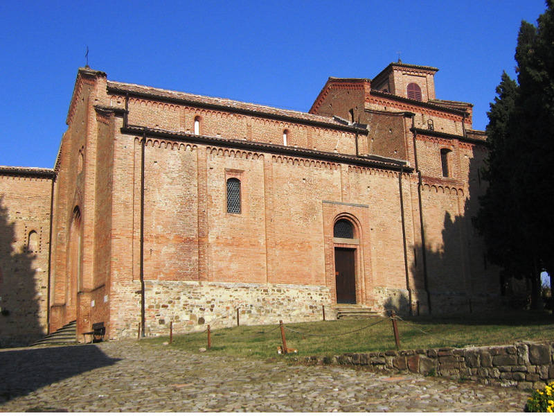
- Interest: Panorama, Religion, Hystory
- Departure: Stazione FER di Bazzano
- Duration: 4 hour/s
- Difficulty Level: intermediate
- Length: about 27 km, including the detour to Monteveglio Alto
- Difference in height: 380m
Once back down in the valley, continue on the trail, which initially follows the valley floor along the Ghiaia di Serravalle Stream and then climbs along the southern hillside of the protected area on paved roads with very little local traffic and in a charming country setting. The climb ends at an altitude of about 300 m, on the ridge separating the Paraviere Stream valley, which you have just cycled along, and the Marzatore Stream valley, from where you will begin to descend amid mixed broadleaf groves (oaks, hornbeams and maples) and small fields of cherry and walnut trees.
Once at Tagliolina proceed along the Marzatore Stream's shaded valley floor, terminating the ring route a few kilometers from Bazzano.
For more information: http://ambiente.regione.emilia-romagna.it/parchi-natura2000/fruizione/ciclovie
Further information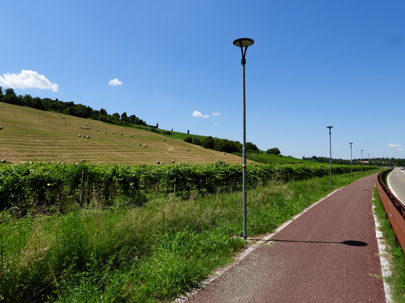
 Download KMZ
 Download in GPX format