Parco Nazionale delle Foreste Casentinesi, Monte Falterona, Campigna
www.parcoforestecasentinesi.itRing-route 4. The Via Romea and the Archiano Valley
Bagno di Romagna - Podere Santicchio - Badia Prataglia - Bagno di Romagna
- Trail Conditions: On foot
- Interest: Flora, Panorama, Religion, Hystory
- Departure: Bagno di Romagna
- Arrival: Bagno di Romagna
- Duration: 5,5 h + 3,5 h + 4,5 h
- Difficulty Level: E - Hiking (level)
- Length: 31 km (13 km + 8 km + 10 km)
- Difference in height: uphill 926 m + 489 m + 414 m
- Public Means of Transport: Bus line 138 with departure from Cesena (Start Romagna)
- Accomodation structures: Rifugio Casa Santicchio, Pensione Giardino, Hotel Bosco Verde, Locanda "Carbonile" Guide del Parco, Ristorante Pizzeria La Foresta, Rifugio Escursionistico Casanova
Interesting hike along one of the most famous historical pilgrimage ways leading to Rome, this ring-route covers the Via Romea di Stade, mentioned in the Annales Stadenses by the Monk Alberto in the 13th century, through Nasseto, Passo Serra and the small villages of Valle Santa near the sacred Verna Mount.
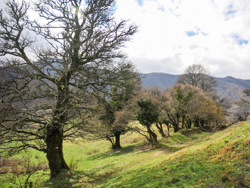
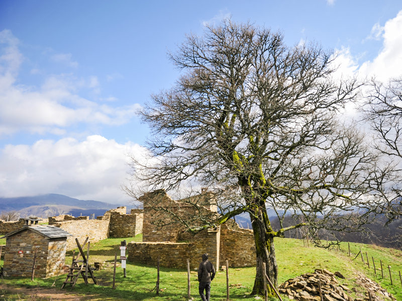
First day. The entrance path is situated near Bagno di Romagna in the locality of Gualchiere. The walk starts in the parking area and, by way of the path 117, leads hikers through the ancient housing unit. One climbs the valley of the Gualchiere trench, walking along the Wilderness area of the Capanno Trench, a protected area since 1998 near the border with the National Park. Beyond the small bridge, by the confluence of the two trenches, the path starts climbing up to Nasseto, a wonderful upland and ancient settlement enhanced through a renovation work for its conservation and through the presence of an interesting bivouac. From Nasseto the path goes on through a wonderful centuries-old tree-lined road, and it climbs up to Serra Pass. From Serra Pass the descent to Vallesanta begins, and by the junction with the path 00 one leaves the path 117 to take the path 59 which leads visitors to the small and well preserved village of Serra. Here the route turns right through the villages of Corezzo and Frassineta. One follows the path 70 towards La Verna on the path of the Sacred Forests, up to Poggio della Forca. Here one takes the path 70A to reach the accommodation point of the first evening, the Casa Santicchio Holiday Farm.
Second day. On the second day it will be necessary to go back to Poggio della Forca along the path 70A and along the 70, up to Frassineta. On the left side of the Church of Frassineta one takes the path 073, which in the Quattro Vie Pass goes on up to Poggio della Cesta. From Poggio one climbs down up to reach the destination point of the second day, namely Badia Prataglia. Beyond the bridge above the Archiano one climbs up to reach the Abbey and cannot miss the visit to the ancient church, and with good weather conditions it is also worth visiting the Forestry Museum and the Carlo Siemoni Arboretum, from where it is possible to see the National Park's Visitor Center.
Third day. The third and last stage begins with the climbing to the Lupatti pass. We suggest hikers to follow the forestry road with path marker 60 up to Campo dell'Agio, and from there to turn right on the path 64 to reach the road SR71 of Mandrioli. One follows the asphalted road up to the entrance of the path 58, which climbs the Macchione trench and leads hikers to a beautiful beech forest. From the Lupatti one goes on for a few meters on the left, along the Cancellino forestry road, then takes the ridge path 00, to turn left on the path 201 and climb down up to the Poggiaccio.
From here one takes the path 185, through turkey oak forests, chestnut forests and old farms, to finally reach the road to the Mandrioli (Provincial Road SP142). One will follow another stretch of asphalted road up to the crossroads by the state street, to soon reach the departure point of this ring route again.
Involved structures: Agriturismo Cà Santicchio (first day), Badia Prataglia: Pensione Giardino, Bosco Verde, Locanda Carbonile, La Foresta, Casanova (second day)


 Download KMZ


