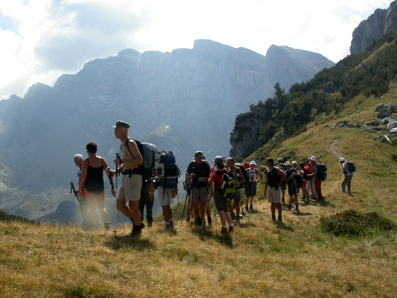
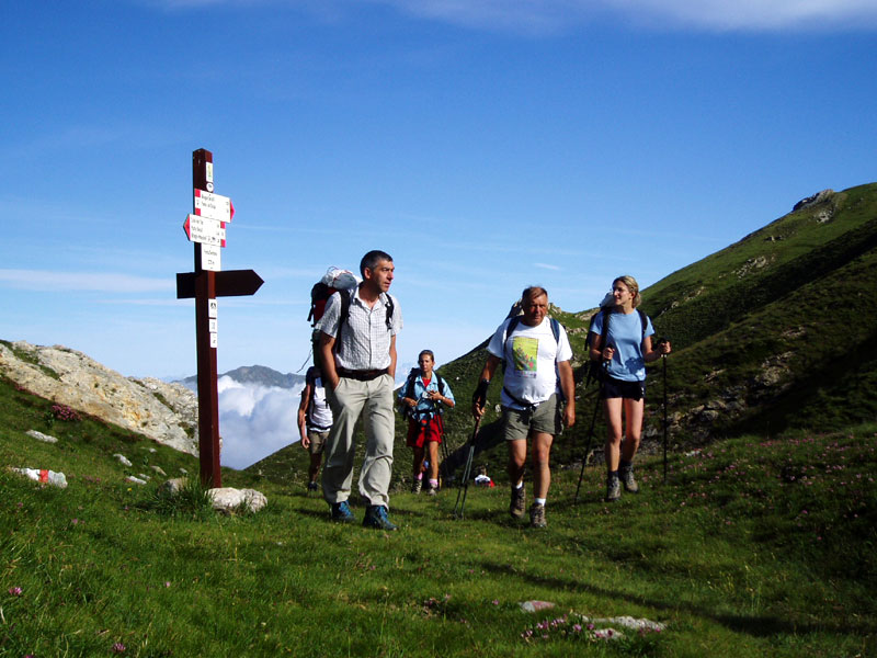
Marguareis Tour
- Trail Conditions: On foot
- Departure: Pian delle Gorre
- Duration: 4/5 days
- Length: 53 km
- Difference in height: 3,500m
The itinerary develops for a total length of 53 km and a difference in height (uphill) of 3,500m.
The five laps are dedicated to well-trained hikers; however, the itinerary can also be completed in 4 days with little changes.
We recommend Pian delle Gorre as departure point, but it is also possible to leave from Upper Tanaro Valley (Mongioie or Carnino Mountain Huts).
 Laps of Marguareis Tour (PDF - 51 Kb)
Books and Guides
Price: 5.00 €
Price: 13.43 €
© 2024 - Ente di gestione del Parco naturale del Marguareis


