Itineraries
On Foot... in Valle Pesio
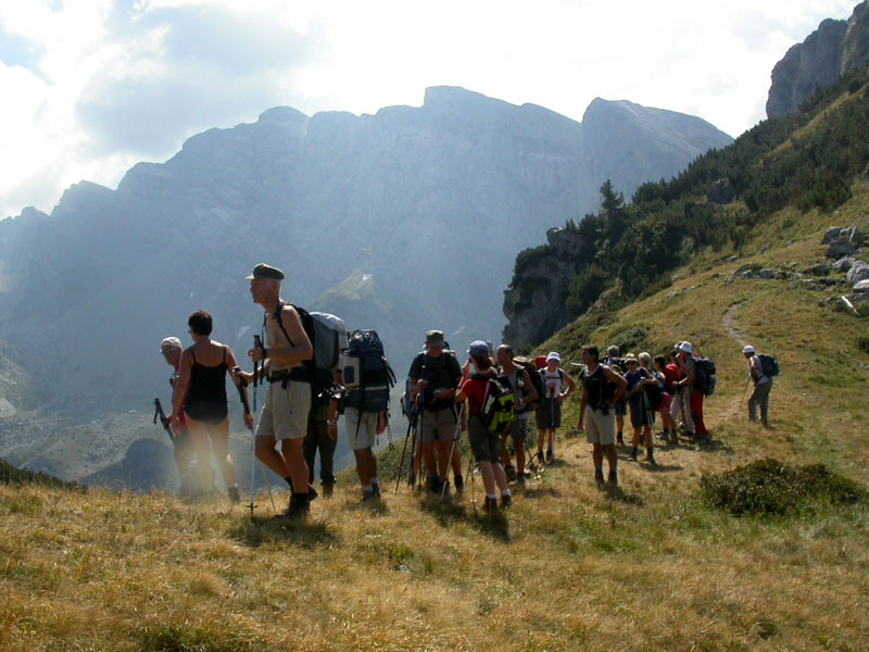
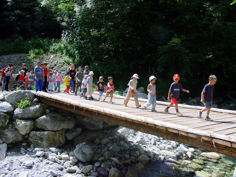
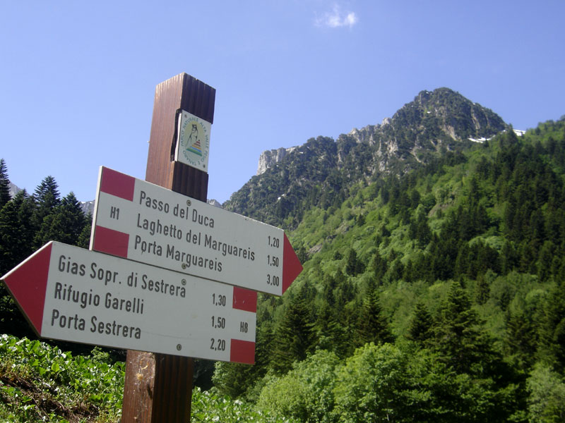
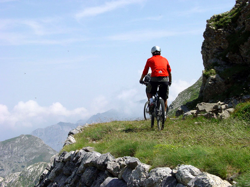
Here you are some of the most charming and interesting itineraries of the protected area: hikers will have the opportunity to choose among well-marked itineraries on foot, by mountain bike, on horseback, or with snow rackets; moreover, you will also find two long trekking itineraries (Marguareis Tour and the Tour of the Fortresses), which represent a valid opportunity to spend some time in the mountain huts in the heart of the Ligurian Alps. In order to promote a broader area, also some itineraries developing in the surroundings of the protected area have been selected (the Road of the Villages and Ormea Balcony).
The recommendations of the Park Keepers
It is recommended to:
- exclusively follow the trails marked with the red and white trail markers
- be careful for the presence of hikers during the downhill stretches by MTB
- during the winter, do not step over the trails prepared with the snowmobile and reserved to cross-country skiers, but follow the marked trails
- it is allowed to bring dogs along all the Park trails, provided they are on leash.
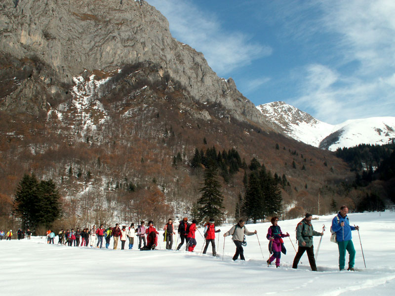
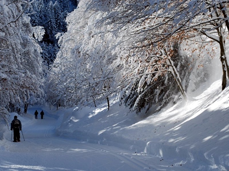
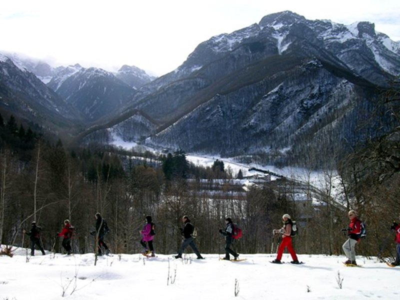
With Snow Rackets in Valle Pesio
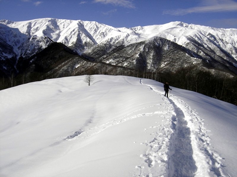
In Alta Valle Pesio and Tanaro Park, the winter tours are many and suitable for all hikers, and offer fairy-tale like settings. Together with an expert tour guide, or even alone, it will be possible to observe the traces left by the wild animals like roe deer, deer, wild boars, and wolves. It is necessary to follow the trails in order not to find yourself in peril or create peril for the others.
Hiking Itineraries in Valle Pesio
The southernmost of the three main Regional Parks situated in the Province of Cuneo lies in Alta Valle Pesio and Alta Valle Tanaro. Established in 1978 and recently enlarged, it covers today an area of about 6,800 hectares.
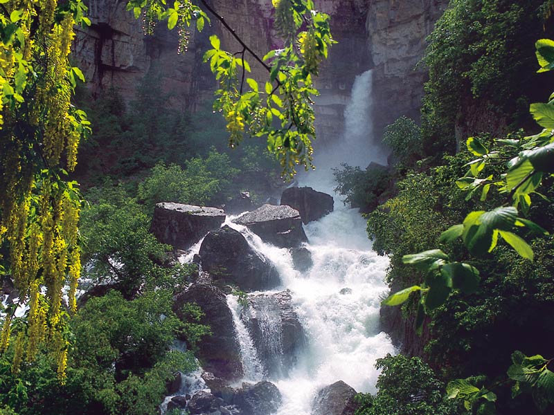
At the head of the valley there is the highest summit of Alpi Liguri, Punta Marguareis (2,651m), in the homonymous mountain massif. Marguareis massif, formed by calcareous rocks, is characterized by its imposing northern wall, almost vertically towering over the surroundings for hundreds of meters. The calcareous nature of the rock has given life to spectacular karstic phenomena: in the Park and the adjacent territories there are over 400 caves and several hypogean hydrological systems with spectacular resurgences both in Val Pesio (Pis del Pesio waterfall) and in Val Tanaro.
Ormea Balcony
Easy and relaxing 4-season trekking of 40 km, with a walking time of 12 hours, you can also decide to split it up into 4 or more shorter laps on foot, on horseback, and by mountain bike. The route, born within the CAI section of Ormea, aims at enhancing the various naturalistic, human, and architectural features that Tanaro Valley still offers. It can be followed in any direction and in more laps that can be connected by car or with alternative routes on foot.
Itinerary
Ormea Balcony
The route leaves from the east, from San Giacomo di Eca Church (not far from the old railway line Ceva - Ormea and SS road 28); after leaving the country hamlet, you will reach Borgata Vacieu and, subsequently, Borgata Cariè and the rural buildings of Zotto dei Girini, where you will go downhill to Albra along the ancient paved trail: here you will find the charming church of the Holy Shroud. Cross the deep and nervous course of Rio Peisino and then go uphill to the houses of Villaro. Along a slight uphill trail, you reach Case Aiola and Gialatti (dryhouse). At this point, the long traverse of Vallone del Rio Conche begins, up to the ruins of the houses of Peroldo Sottano before and Soprano after. Go down to Valdarmella and climb to Colla di Chionea (belvedere at 360° over Pizzo d'Ormea, Antoroto, Galero, and Armetta); beyond it, go down to the settlement of Chionea (lap stop), to Borgate di Alpisella Sottana and Rian and then to Chioraira, characterized by the charming still intact and inhabited village, and from the rural buildings of Colletto up to Piani della Colma (1,500m), the highest point of the whole itinerary. The route continues across the characteristic village of Quarzina, and here, taking a dirt road, across Borgate Biranco, Mellea, Fasce, Pollaio, Cacino. After an asphalt stretch, take again the trail crossing Rio Bianco and, across wonderful woods, you will reach Casa Bruciata. From here, along a dirt road first and asphalt road after, you will reach Viozene (shuttle bus service for the return journey).
Further information (Italian text)


