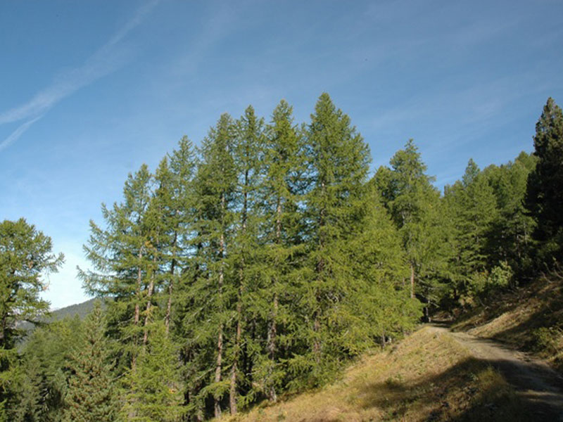
The Road of the Cannons
Trail no. 5
- Trail Conditions: On foot
- Departure: Sauze d'Oulx (2,059m)
- Duration: 2 hour/s 30 minutes
- Difficulty Level: E - Hiking (level)
- Length: 2.82 km
- Difference in height: 261m
This itinerary goes along a stretch of the so-called Road of the Cannons, used in the past by the armies to carry the heavy artillery up to the ridge.
Along a long road climbing to Col Blegier, at 2,050m, a wooden trail marker on the left marks the beginning of the trail. You will enter a larch and Stone pine wood and, after 800 m you will find the boundary stone marking the beginning of trail no. 7 on the left. At 2,280m, after about 2.5 km, the trail definitively comes out of the wood and you will enjoy a great view over the alpine grassland. After meeting the GTA, the Road of the Cannons continues for 1.8 km up to the ridge, reaching the SP road of Assietta (2,495m).
Books and Guides
© 2024 - Ente di gestione delle aree protette delle Alpi Cozie


