Parks.it Homepage

Parco Nazionale Dolomiti Bellunesi

www.dolomitipark.it
 

Itineraries

Nature Trails

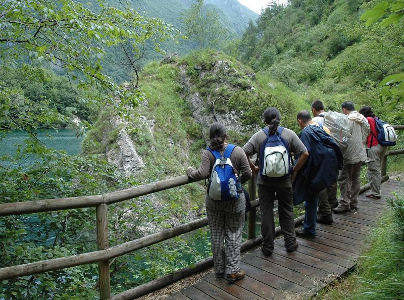
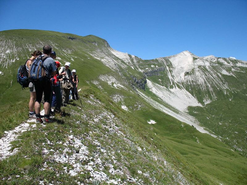
They are naturalistic ring-routes, generally developing at moderate altitudes and dedicated to hikers who are not necessarily experts, but interested in thoroughly discover flora, vegetation, fauna, and geology of the places they are visiting.

Further information


Nature Trails
Nature Trail Val Pramper
Departure: località Pian de la Fopa (Forno di Zoldo)
Map with georeferenced itinerary
Typology: On foot
Difficulty Level: E - Hiking (level)
Duration: 2 h 30 m
Val di Canzoi
Val di Canzoi
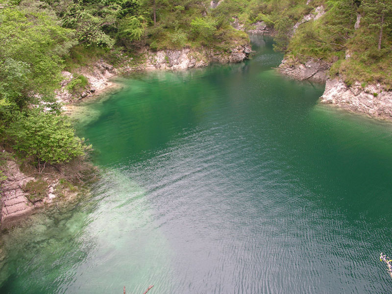
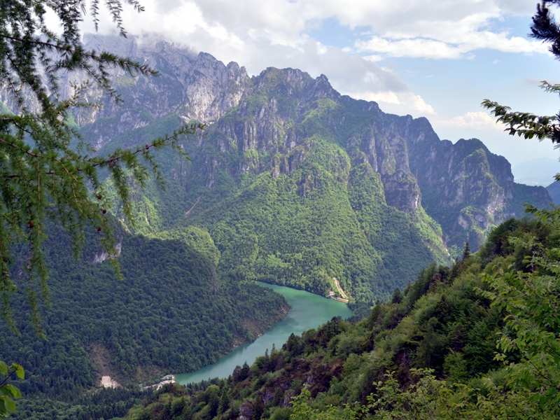
Easy ring-route around Lago della Stua
Departure: Preton
Map with georeferenced itinerary
Typology: On foot
Difficulty Level: T - Tourist (level)
Duration: 4 h
Interest: Flora, Wildlife, Geology
Val Falcina
Val Falcina
Easy loop with a wild charm
Departure: Pian della Falcina
Map with georeferenced itinerary
Typology: On foot
Difficulty Level: T - Tourist (level)
Duration: 2 h
Interest: Flora, Wildlife, Geology

Thematic Trails

Thematic trails have been chosen among the most representative routes to describe one specific feature of the territory (history, archaeology, traditional human activities, geomorphology, etc.). The first six thematic trails satisfy the most exacting hikers thanks to the detailed information provided by the guidebooks and the presence of specific panels along the trail.

Further information


Thematic Trails
Covoli in Val di Lamen
Archaeological Itinerary on the Footsteps of Mazarol
Departure: Val di Lamen (Stalle alla Fornace)
Map with georeferenced itinerary
Typology: On foot
Difficulty Level: E - hike (short loop); EE - expert hikers (complet...
Duration: 2 hours and 30 minutes (short loop); 5 hours (complete...
Interest: Archeology, History
I cadini del Brenton
Potholes in Val del Mis
Departure: Valle del Mis
Map with georeferenced itinerary
Typology: On foot
Difficulty Level: T - Tourist (level)
Duration: 30 m
Interest: Geology
Piedmont Churches - Chiesette pedemontane
Warrior Saints and Healer Saints in Dolomiti Bellunesi
Departure: Stalle al Pez - Croce D'Aune
Map with georeferenced itinerary
Typology: On foot
Difficulty Level: E - Hiking (level)
Interest: Religion, History
The Cirques of Vette - I Circhi delle Vette
Geological Itinerary across Buse delle Vette
Departure: Rifugio Dal Piaz
Map with georeferenced itinerary
Typology: On foot
Difficulty Level: EE - For expert hikers
Duration: 6 h
Interest: Geology
The forest
The forest
Discovering the Serenissima wood
Departure: località Pian de Le Stele (Longarone)
Map with georeferenced itinerary
Typology: On foot
Difficulty Level: T - Tourist (level)
Duration: 2 h 30 m
The Forgotten Mountain - La montagna dimenticata
Military Roads and Ancient Miners' Roads
Departure: Forcella Moschesin
Map with georeferenced itinerary
Typology: On foot
Difficulty Level: E - Hiking (level)
Interest: History
The Route of the Hospices - La Via degli ospizi
On the Footsteps of the Ancient Wayfarers in Val Cordevole
Departure: Certosa di Vedana (Mis)
Map with georeferenced itinerary
Typology: On foot
Difficulty Level: E - Hiking (level)
Duration: 8 h
Interest: Religion, History

CAI Trails

The CAI trail network in the Park is very complex: as a matter of fact, it includes 52 trails and 5 vie ferrate, whose details you will find following the links. Moreover, the protected area is crossed by Alte Vie delle Dolomiti no. 1, 2 and part of no. 3.

Further information


CAI Trails

Vette Feltrine

C.A.I. Trail no. 804
Departure: Valle delle Grave
Map with georeferenced itinerary
Typology: On foot
Difficulty Level: T - Tourist (level)
C.A.I. Trail no. 805
Departure: Case Guarda Centrale ENEL
Map with georeferenced itinerary
Typology: On foot
Difficulty Level: T - Tourist (level)
Interest: Flora
C.A.I. Trail no. 810
Departure: Aune Casere dell'Asia
Map with georeferenced itinerary
Typology: On foot
Difficulty Level: EE - For expert hikers
Interest: Flora
C.A.I. Trail no. 812
Departure: Valle di San Martino Fornace
Map with georeferenced itinerary
Typology: On foot
Difficulty Level: T - Tourist (level)
C.A.I. Trail no. 815
Forzelon Alpine Trail
Departure: Stalle alla Fornace Loc. Lamen
Map with georeferenced itinerary
Typology: On foot
Difficulty Level: EE - For expert hikers
C.A.I. Trail no. 817
Departure: Malga Monsampiano
Map with georeferenced itinerary
Typology: On foot
Difficulty Level: T - Tourist (level)
Interest: Flora
C.A.I. Trail no. 818
Departure: Le Prese
Map with georeferenced itinerary
Typology: On foot
Difficulty Level: E - Hiking (level)
Interest: Flora
C.A.I. Trail no. 819
Departure: Val San Mauro Case al Zot
Map with georeferenced itinerary
Typology: On foot
Difficulty Level: E - Hiking (level)
C.A.I. Trail no. 820
Equipped trail
Departure: Covol dell'Acqua
Map with georeferenced itinerary
Typology: On foot
Difficulty Level: EEA - For expert hikers
with equipment
C.A.I. Trail no. 801
Departure: Croce d'Aune Cimamonte
Typology: On foot
Difficulty Level: EE - For expert hikers
Interest: Flora
C.A.I. Trail no. 803
Departure: Presa Sass Bregà Vignui
Typology: On foot
Difficulty Level: T - Tourist (level)
C.A.I. Trail no. 811
Departure: Lago della Stua
Typology: On foot
Difficulty Level: T - Tourist (level)
C.A.I. Trail no. 816
Departure: Piano dei Violini
Typology: On foot
Difficulty Level: E - Hiking (level)

Cimonega

C.A.I. Trail no. 806
Cimonega equipped trail
Departure: Lago della Stua
Map with georeferenced itinerary
Typology: On foot
Difficulty Level: EE - For expert hikers
C.A.I. Trail no. 851
Equipped trail
Departure: Loc. Roer (Roncoi)
Map with georeferenced itinerary
Typology: On foot
Difficulty Level: EE - For expert hikers
Interest: Wildlife
C.A.I. Trail no. 801
Departure: Croce d'Aune Cimamonte
Typology: On foot
Difficulty Level: EE - For expert hikers
Interest: Flora

Pizocco

C.A.I. Trail no. 851
Equipped trail
Departure: Loc. Roer (Roncoi)
Map with georeferenced itinerary
Typology: On foot
Difficulty Level: EE - For expert hikers
Interest: Wildlife
C.A.I. Trail no. 853
Departure: Staolet
Map with georeferenced itinerary
Typology: On foot
Difficulty Level: E - Hiking (level)
Interest: Flora, Panorama
C.A.I. Trail no. 852
Departure: Loc. San Felice (Roncoi)
Typology: On foot
Difficulty Level: EE - For expert hikers

Erera-Brendol

C.A.I. Trail no. 851
Equipped trail
Departure: Loc. Roer (Roncoi)
Map with georeferenced itinerary
Typology: On foot
Difficulty Level: EE - For expert hikers
Interest: Wildlife
C.A.I. Trail no. 802
Departure: Lago della Stua
Typology: On foot
Difficulty Level: E - Hiking (level)
Interest: Flora

Monti del Sole

C.A.I. Trail no. 871
Equipped trail
Departure: Ponte torrente Mis Gena Bassa
Map with georeferenced itinerary
Typology: On foot
Difficulty Level: EE - For expert hikers
C.A.I. Trail no. 872
Departure: La Borala alta Val Soffia
Map with georeferenced itinerary
Typology: On foot
Difficulty Level: EE - For expert hikers
C.A.I. Trail no. 874
Departure: Agre
Map with georeferenced itinerary
Typology: On foot
Difficulty Level: EE - For expert hikers

Schiara-Talvena

C.A.I. Trail no. 501
Departure: Case Bortot
Map with georeferenced itinerary
Typology: On foot
Difficulty Level: E - Hiking (level)
C.A.I. Trail no. 502
Val de Piero Alpine Trail
Departure: Rifugio 7 Alpini Pis Pilon
Map with georeferenced itinerary
Typology: On foot
Difficulty Level: EE - For expert hikers
C.A.I. Trail no. 503
Departure: Bus de la Pissa (Loc. La Stanga)
Map with georeferenced itinerary
Typology: On foot
Difficulty Level: EE - For expert hikers
C.A.I. Trail no. 505
Departure: Rifugio 7 Alpini Pis Pilon
Map with georeferenced itinerary
Typology: On foot
Difficulty Level: E - Hiking (level)
C.A.I. Trail no. 506
Departure: Sotto Ponte Cargador Case Val della Borra
Map with georeferenced itinerary
Typology: On foot
Difficulty Level: T - Tourist (level)
Interest: Flora
C.A.I. Trail no. 507
Departure: Ponte del Mariano
Map with georeferenced itinerary
Typology: On foot
Difficulty Level: T - Tourist (level)
C.A.I. Trail no. 508
Departure: Case Bortot
Map with georeferenced itinerary
Typology: On foot
Difficulty Level: T - Tourist (level)
Interest: Panorama
C.A.I. Trail no. 509
Departure: Pian di Caiada
Map with georeferenced itinerary
Typology: On foot
Difficulty Level: T - Tourist (level)
C.A.I. Trail no. 510
Departure: Casera Zoppà
Map with georeferenced itinerary
Typology: On foot
Difficulty Level: T - Tourist (level)
C.A.I. Trail no. 511
Departure: Val de Rui Fret
Map with georeferenced itinerary
Typology: On foot
Difficulty Level: E - Hiking (level)
C.A.I. Trail no. 512
Departure: Case Tovena (Loc.Pascoli)
Map with georeferenced itinerary
Typology: On foot
Difficulty Level: E - Hiking (level)
C.A.I. Trail no. 514
Departure: Rifugio Sommariva al Pramperet
Map with georeferenced itinerary
Typology: On foot
Difficulty Level: EE - For expert hikers
C.A.I. Trail no. 515
Departure: Ponte del Bus Pian di Vedoia
Map with georeferenced itinerary
Typology: On foot
Difficulty Level: EE - For expert hikers
C.A.I. Trail no. 518
Departure: Rifugio F. Bianchet
Map with georeferenced itinerary
Typology: On foot
Difficulty Level: T - Tourist (level)
C.A.I. Trail no. 537
Mt. Coro Alpine Trail
Departure: Rifugio F.Bianchet
Map with georeferenced itinerary
Typology: On foot
Difficulty Level: E - Hiking (level)
C.A.I. Trail no. 546
Departure: La Muda
Map with georeferenced itinerary
Typology: On foot
Difficulty Level: E - Hiking (level)
Via Ferrata: Antonio Berti
Departure: Forcella della Gusela Bivacco Ugo Dalla Bernardina
Map with georeferenced itinerary
Typology: Ferrata
Difficulty Level: EEA - For expert hikers
with equipment
Via Ferrata: Col. Luigi Zacchi (503)
Departure: Porton de la Schiara
Map with georeferenced itinerary
Typology: Ferrata
Difficulty Level: EEA - For expert hikers
with equipment
Via Ferrata: Del Marmol (514)
Departure: Porton de la Schiara
Map with georeferenced itinerary
Typology: Ferrata
Difficulty Level: EEA - For expert hikers
with equipment
Via Ferrata: Gian Angelo Sperti (504)
Departure: Rifugio 7 Alpini Pis Pilon
Map with georeferenced itinerary
Typology: Ferrata
Difficulty Level: EEA - For expert hikers
with equipment
Via Ferrata: Marino Guardiano Al Pelf
Departure: Forcella del Marmol
Map with georeferenced itinerary
Typology: Ferrata
Difficulty Level: EEA - For expert hikers
with equipment
C.A.I. Trail no. 517
Departure: Cargador
Typology: On foot
Difficulty Level: T - Tourist (level)
C.A.I. Trail no. 536
Departure: Rifugio F. Bianchet
Typology: On foot
Difficulty Level: T - Tourist (level)
Interest: Flora
C.A.I. Trail no. 572
Departure: Maè Muda
Typology: On foot
Difficulty Level: E - Hiking (level)

Pramper-Moschesin

C.A.I. Trail no. 513
Equipped trail
Departure: Casere Grisol de Dentro
Map with georeferenced itinerary
Typology: On foot
Difficulty Level: E - Hiking (level)
C.A.I. Trail no. 514
Departure: Rifugio Sommariva al Pramperet
Map with georeferenced itinerary
Typology: On foot
Difficulty Level: EE - For expert hikers
C.A.I. Trail no. 520
Departure: Pont dei Ros Val del Grisol
Map with georeferenced itinerary
Typology: On foot
Difficulty Level: T - Tourist (level)
C.A.I. Trail no. 528
Departure: Casera Salet Val Grave de San Marco
Map with georeferenced itinerary
Typology: On foot
Difficulty Level: EE - For expert hikers
C.A.I. Trail no. 533
Departure: Giaron dentre i Spiz
Map with georeferenced itinerary
Typology: On foot
Difficulty Level: EE - For expert hikers
C.A.I. Trail no. 535
Departure: Valle de la Malisia
Map with georeferenced itinerary
Typology: On foot
Difficulty Level: E - Hiking (level)
C.A.I. Trail no. 543
Departure: Passo Duran - Rifugio Cesare Tomè
Map with georeferenced itinerary
Typology: On foot
Difficulty Level: E - Hiking (level)
C.A.I. Trail no. 521
Departure: Pont Pian de la Sega Torrente Maè
Typology: On foot
Difficulty Level: EE - For expert hikers
C.A.I. Trail no. 522
Departure: Val Pramper
Typology: On foot
Difficulty Level: EE - For expert hikers
C.A.I. Trail no. 523
Departure: Pian de la Fopa Val Pramper
Typology: On foot
Difficulty Level: T - Tourist (level)
C.A.I. Trail no. 527
Departure: Grisol de dentro Val del Grisol
Typology: On foot
Difficulty Level: EE - For expert hikers
C.A.I. Trail no. 529
Departure: Igne ponte Rui Pizzol
Typology: On foot
Difficulty Level: EE - For expert hikers
Interest: Panorama
C.A.I. Trail no. 540
Departure: Pressi di Malga Pramper
Typology: On foot
Difficulty Level: T - Tourist (level)

Tamer-San Sebastiano

C.A.I. Trail no. 543
Departure: Passo Duran - Rifugio Cesare Tomè
Map with georeferenced itinerary
Typology: On foot
Difficulty Level: E - Hiking (level)

Wildlife Route in Salet

Description of the measure

According to the Park Plan, a Visitor Center dedicated to the issue of fauna will be opened in the Municipality of Sedico; with this perspective, a first series of interventions aimed at the observation of the wild fauna has been realized, together with other measures aimed at increasing the faunistic receptivity of the site and the opportunities to sight the animals.

The following structures have been built:

  • wildlife observatory no. 1: wooden prefabricated structure h m 3.60 (photo)
  • wildlife observatory no. 2: wooden prefabricated structure h m 8.00 (photo)
  • artificial brooding place: closed nest boxes, open nest boxes, nest baskets for birds of prey
  • wooden troughs for ungulates (photo)
  • troughs for small birds
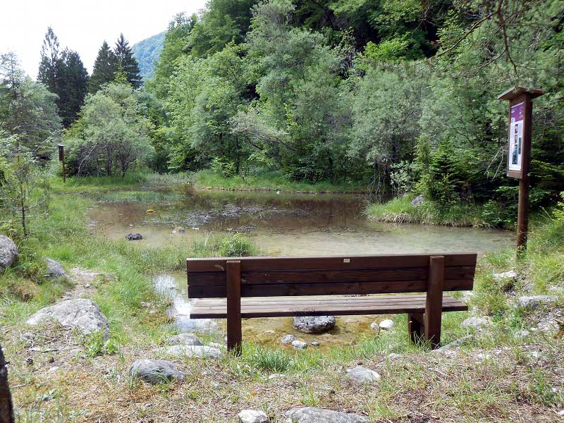
  • ponds: no. 2 with size 5x7m and 3x3m
  • wooden barriers with slots (photo)
  • hedges
  • fences
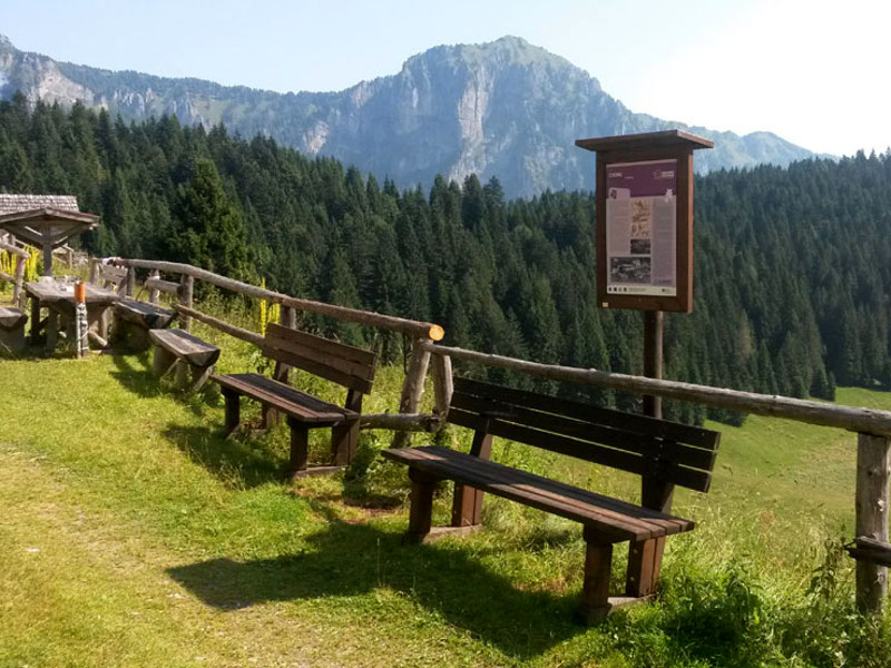
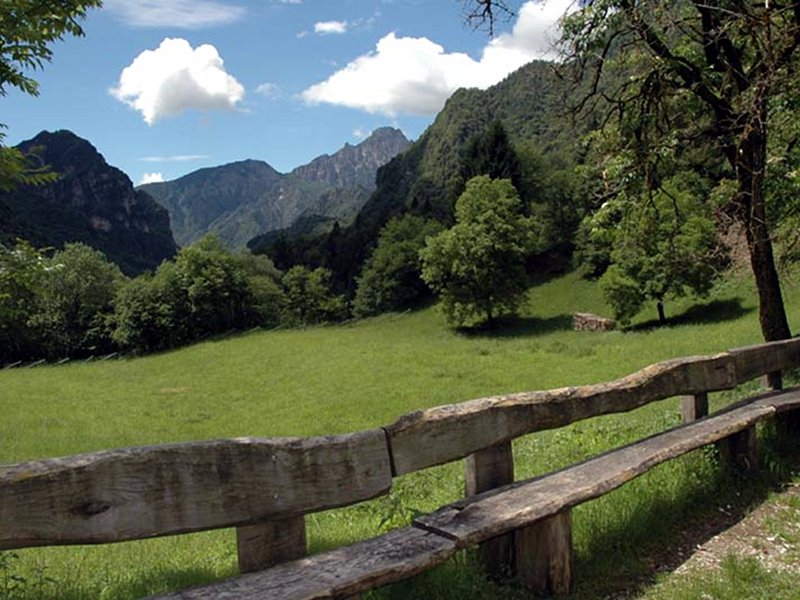
  • wooden benches
  • informative panels

Aims of the measure
The planned measures are aimed at increasing the wildlife receptivity of the site, the opportunities to sight wild animals, and at promoting, through the creation of adequate structures, their observation.
It is necessary to underline that the easy accessibility of the area of Salet gives the opportunity to disabled people to visit the Park and discover its naturalistic features.
We are collaborating with the Park Tour Guides (Cooperative Mazarol) and with Comitato d'Intesa among the volunteer associations operating in the field of disability to make the route accessible and to create informative supports both for schools and for people with disabilities.


Wildlife Route in SaletWildlife Route in Salet

Selected itineraries

A selection of "classic routes" which will allow you to discover the most beautiful and fascinating places of the Park, enjoy the walk!

7° Alpini mountain hut
At the foot of the Schiara
Departure: Case Bortot
Map with georeferenced itinerary
Typology: On foot
Difficulty Level: E - Hiking (level)
Duration: 3 hours (climb only)
Interest: Geology
Alta Via No. 1
Alta Via No. 1
The most classic among the dolomitic itineraries
Departure: Passo Duran
Map with georeferenced itinerary
Typology: On foot
Difficulty Level: Day 1: E; day 2: EE; day 3-4: EEA. IMPORTANT: IN T...
Duration: Itinerary in 4 stages: Day 1: 4 and a half hours. Day...
Interest: Flora, Wildlife, Geology, Panorama, History
Alta Via No. 2
Alta Via No. 2
Among the landscapes shaped by the glaciers
Departure: Passo Cereda
Map with georeferenced itinerary
Typology: On foot
Difficulty Level: Day 1: EE; day 2: EE; day 3: E
Duration: Itinerary in 3 stages. Day 1: 6 and a half/7 hours....
Interest: Flora, Wildlife, Geology, Panorama, History
Bianchet mountain hut
Between the beech forests of the Val Vescovà
Departure: Val Cordevole, nei pressi della loc.La Pissa
Map with georeferenced itinerary
Typology: On foot
Difficulty Level: E - Hiking (level)
Duration: 2.5 - 3 hours (climb only)
Interest: Flora
Boz mountain hut
Boz mountain hut
At the Boz mountain hut from Val Noana
Departure: Val Nagaoni
Map with georeferenced itinerary
Typology: On foot
Difficulty Level: E - Hiking (level)
Duration: 1 hour and 45' climb only
Interest: Flora, Wildlife
Cimonega hollow and Feltre bivouac
On the traces of the chamois
Departure: Val Canzoi: albergo Boz - Bar 4 Pass
Map with georeferenced itinerary
Typology: On foot
Difficulty Level: EE - For expert hikers
Duration: 4 hours (climb only)
Interest: Wildlife, Geology, Panorama
Dal Piaz mountain hut and Busa Vette Grandi
Walking between clouds and flowers
Departure: Passo Croce d'Aune
Map with georeferenced itinerary
Typology: On foot
Difficulty Level: E - Hiking (level)
Duration: 3 hours (climb only)
Interest: Flora, Wildlife, Geology, Panorama
Mount Serva
Mount Serva
Meadows, panoramas and... geraniums
Departure: Col di Roanza, loc. Cargador
Map with georeferenced itinerary
Typology: On foot
Difficulty Level: E - Hiking (level)
Interest: Flora, Panorama
Park 2 Trek Dolomites
An hiking through 2 Nature Parks, both UNESCO World Heritage Sites
Departure: Passo Croce d'Aune
Map with georeferenced itinerary
Typology: On foot
Difficulty Level: Day 1: EE. Day 2: EE. Day 3: EEA classic path, EE ...
Duration: Itinerary in 8 stops. Day 1: 3 hours. Day 2: 5 hours....
Interest: Panorama
Pian de Fontana mountain hut
In the woods of the wildcat
Departure: Pont dei Ross
Map with georeferenced itinerary
Typology: On foot
Difficulty Level: E - Hiking (level)
Duration: 3 hours (climb only)
Interest: Flora, Wildlife, Geology, Panorama
Piazza del Diavolo integral Reserve
Crossing a nature sanctuary
Departure: Passo Croce d'Aune
Map with georeferenced itinerary
Typology: On foot
Difficulty Level: EE - For expert hikers
Duration: 1st day: 3 hours (climb at the dal Piaz mountain hut...
Interest: Flora, Wildlife, Geology, Panorama
Pramperet mountain hut
The Park's most dolomitic corner
Departure: Pian de la Fopa
Map with georeferenced itinerary
Typology: On foot
Difficulty Level: E - Hiking (level)
Duration: 2 hours (climb only)
Interest: Flora, Wildlife, Geology, Panorama
The walk of the Dolomites
A ring-route in 30 stages including the whole province of Belluno
Departure: San Vittore (Feltre) (se si fanno le tappe dalla 1 alla 8) o Perarolo di Cadore (se si fanno le tappe dalla 25 alla 30)
Map with georeferenced itinerary
Typology: On foot
Difficulty Level: E or EE depending on the chosen stage
Interest: Panorama, History
Vie ferrate on the Schiara
On the Park's roof, between the 'crode' loved by Dino Buzzati
Departure: Case Bortot
Map with georeferenced itinerary
Typology: On foot
Difficulty Level: EEA. IMPORTANT: THEY ARE EXTREMELY DIFFICULT EQUIP...
Duration: 1st day: 3 hours (climb to the 7° Alpini mountain...
Interest: Geology, Panorama

Two steps from the Park's doors

"Due passi alle porte del Parco" (two steps from the Park's door) are short ring-routes on the valley bottom, ideal for those who prefer low-altitude walks. Many titneraries are also suitable for families and children.

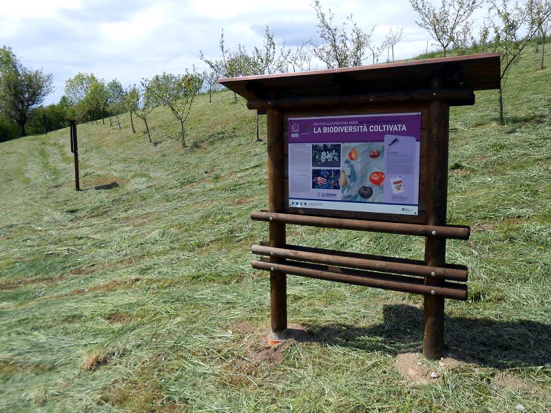
Cultivated biodiversity
The Jurassic Park of apples
Departure: Ristorante all'Antica Torre, Col dei Mich
Map with georeferenced itinerary
Typology: On foot
Difficulty Level: T - Tourist (level)
Duration: 30 m
Interest: Flora, History
Trugno
Trugno
Between woods and meadows above Norcen
Departure: Chiesa di Norcen
Map with georeferenced itinerary
Typology: On foot
Difficulty Level: T - Tourist (level)
Duration: 1 h 30 m
Interest: Geology, Panorama, History
The ring-route of chestnut trees
Departure: Pren (frazione di Feltre)
Map with georeferenced itinerary
Typology: On foot
Difficulty Level: T - Tourist (level)
Duration: 1 h 30 m
Interest: Flora, Panorama
About land and love
About land and love
A path for Cesare Dalfreddo
Departure: Val Canzoi, ponte sul torrente Caorame (700 m oltre il centro di educazione ambientale del Parco)
Map with georeferenced itinerary
Typology: On foot
Difficulty Level: T - Tourist (level)
Duration: 30 m
Interest: Flora, Wildlife, Panorama
The Veses water way
The Veses water way
The Park's door
Departure: Ostello Altanon, Cergnai
Map with georeferenced itinerary
Typology: On foot
Difficulty Level: T - Tourist (level)
Duration: 2 h
Interest: Flora, Wildlife, Panorama, History
The path of the lost castles
Departure: Località Case Balest - Roncoi di Dentro
Map with georeferenced itinerary
Typology: On foot
Difficulty Level: T - Tourist (level)
Duration: 2 h
Interest: Geology, Panorama, History
Between countryside and Masiere
Departure: Località San Gottardo (Sospirolo)
Map with georeferenced itinerary
Typology: On foot
Difficulty Level: T - Tourist (level)
Duration: 1 h
Interest: Flora, Wildlife, Geology, Panorama, History
Buss del Buson
Buss del Buson
Departure: Località Case Bortot (Belluno)
Map with georeferenced itinerary
Typology: On foot
Difficulty Level: E - for hikers (do not leave the marked path, ther...
Duration: 1 h 30 m
Interest: Geology, Photography

Itineraries by bike

Within the Park it is possible to go by bike on all the state, provincial municipal streets. In some forestry streets   and in all the paths it is forbidden to go by bike.
Below you can find the itineraries on the forestry streets which can be covered by bike within the Park. Some of the routes are situated within the protected area, others begin outside the Park and then enter or cross it.

Climbing towards Pramper mountain pasture
In the Park's dolomitic heart
Departure: Forno di Zoldo
Map with georeferenced itinerary
Typology: By bike
Difficulty Level: MC
Interest: Flora, Wildlife, Geology, Panorama
Climbing towards the Bianchet mountain hut
In the beech forests of Val Vescovà
Departure: Loc. Pinei (Val Cordevole)
Map with georeferenced itinerary
Typology: By bike
Difficulty Level: BC
Interest: Flora, Panorama
From Faè to the Cajada forest
In the woods of Serenissima
Departure: Faè
Map with georeferenced itinerary
Typology: By bike
Difficulty Level: MC/MC
Interest: Flora, Wildlife, Geology, Panorama, History
From San Gottardo to the Salet meadows
By bike with the children, to observe deers and roe deers
Departure: San Gottardo
Map with georeferenced itinerary
Typology: By bike
Difficulty Level: TC
Interest: Wildlife
Pedavena Lamen Croce d'Aune Pedavena ring-route
At the foot of the Feltrine Summits
Departure: Pedavena
Map with georeferenced itinerary
Typology: By bike
Difficulty Level: MC/TC
Interest: Flora, Panorama, History
Val del Grisol and Costa dei Nass
In the woods of the wildcat
Departure: Soffranco
Map with georeferenced itinerary
Typology: By bike
Difficulty Level: TC/MC
Interest: Flora, Wildlife, Panorama, History
Val di Canzoi
Val di Canzoi
Door of the Park
Departure: Soranzen
Map with georeferenced itinerary
Typology: By bike
Difficulty Level: MC/TC
Interest: Flora, Wildlife, Geology, Panorama
Val di San Martino
Val di San Martino
Between countryside and rocky walls
Departure: Vignui
Map with georeferenced itinerary
Typology: By bike
Difficulty Level: MC/TC
Interest: Flora, Wildlife, Panorama, History
Val Gresal ring-route
At Belluno's doors
Departure: Tisoi
Map with georeferenced itinerary
Typology: By bike
Difficulty Level: MC/BC
Interest: Panorama, History
Valle dell'Ardo
Valle dell'Ardo
At the foot of Mount Serva
Departure: Col di Roanza
Map with georeferenced itinerary
Typology: By bike
Difficulty Level: MC
Interest: Flora, Wildlife, Geology, Panorama
Dal Piaz mountain hut and Busa Vette Grandi
By bike between the clouds
Departure: Passo Croce d'Aune
Typology: By bike
Difficulty Level: MC/BC
Interest: Flora, Wildlife, Geology, Panorama

Itineraries on horseback

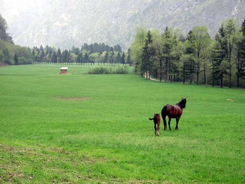
Within the Park the hikes on horseback are allowed in the zones C and D, namely in the Cajada hollow, the Val Prampér and the Val Grisol, the areas around the former mining center of Valle Imperina, the Cordevole, Mis and Canzoi valleys, the areas around the Croce d'Aune mountain pass.
The transit of horses is allowed on many forestry roads. Below you can find the itineraries on forestry roads which can be completely or partially covered on horseback.

Dal Piaz mountain hut and Monsampian alpine meadow
Map with georeferenced itinerary
Typology: On horseback
Interest: Panorama
The meadows of Salet
Departure: San Gottardo
Map with georeferenced itinerary
Typology: On horseback
Val Vescovà and Bianchet mountain hut
Departure: Val Cordevole, nei pressi della loc. Costa Pinei
Map with georeferenced itinerary
Typology: On horseback
Interest: Flora
share-stampashare-mailQR Codeshare-facebookshare-twitter
© 2024 - Ente Parco Nazionale delle Dolomiti Bellunesi