Itineraries
Discovering the River Oglio
![]() Download the full PDF (7Mb)
Download the full PDF (7Mb)
Sentiero Verde dell'Oglio (Oglio Green Path) from Sarnico to Ostiano
A 4-day-hiking
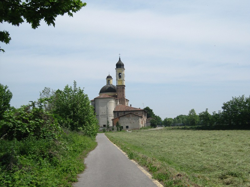
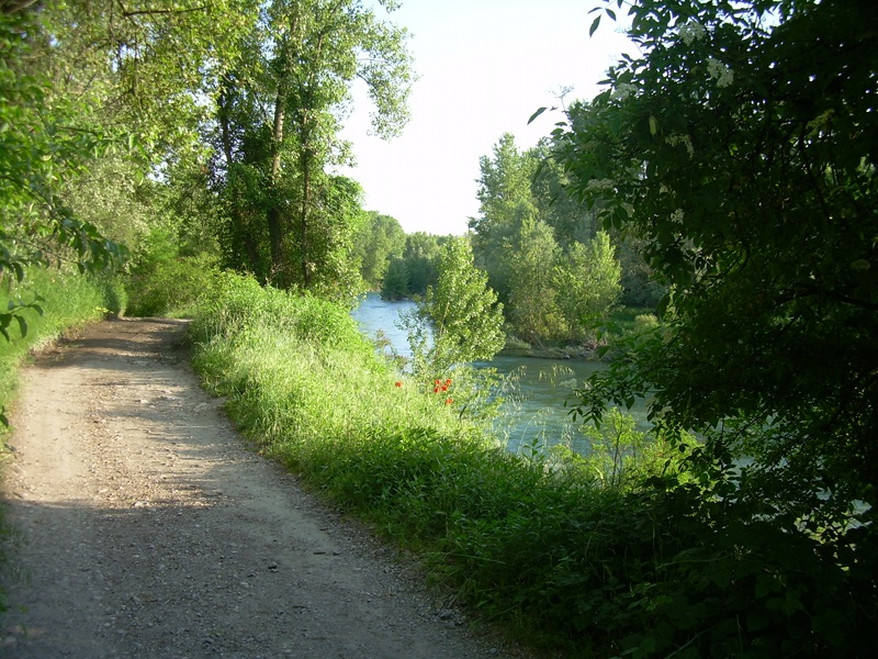
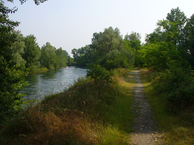
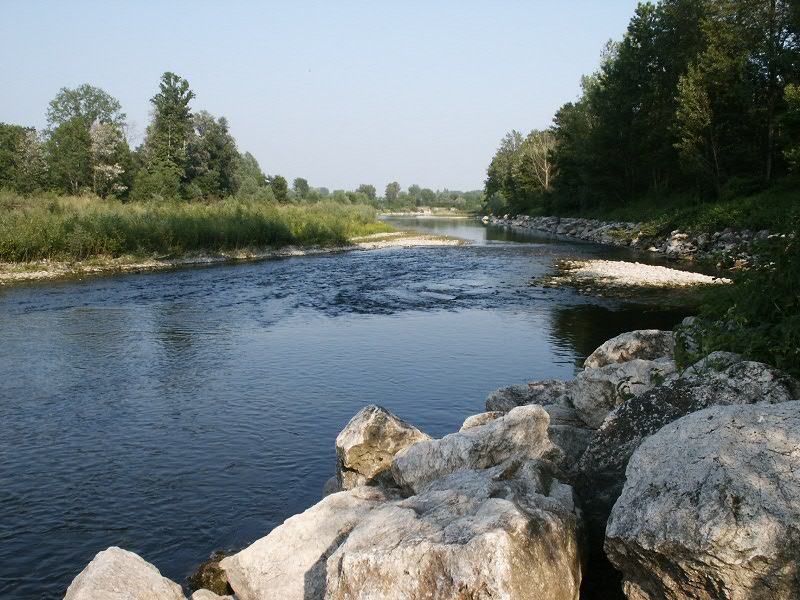
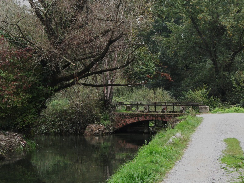
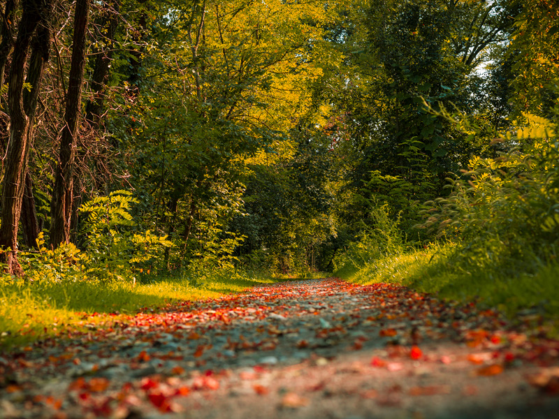
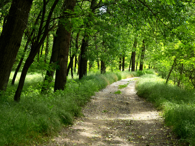
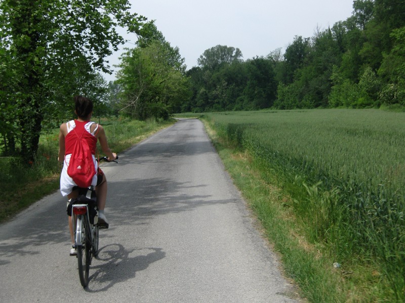
Il Sentiero Verde dell'Oglio (the Oglio Green Path) develops almost exclusively along the Oglio river and some of its irrigation ditches (also called "seriole") in a fluvial and plain environment. It mainly uses country roads and paths, except when crossing villages. It is characterized by zero height difference, its highest point is the Paratico hill (200 mt). The path is almost entirely in the Oglio Nord Regional Park, so it is necessary to respect nature (do not collect flowers, do not leave the path, do not bother the animals, etc.).
![]() Download the full PDF (3,3Mb)
Download the full PDF (3,3Mb)
Cycle route of the Oglio River
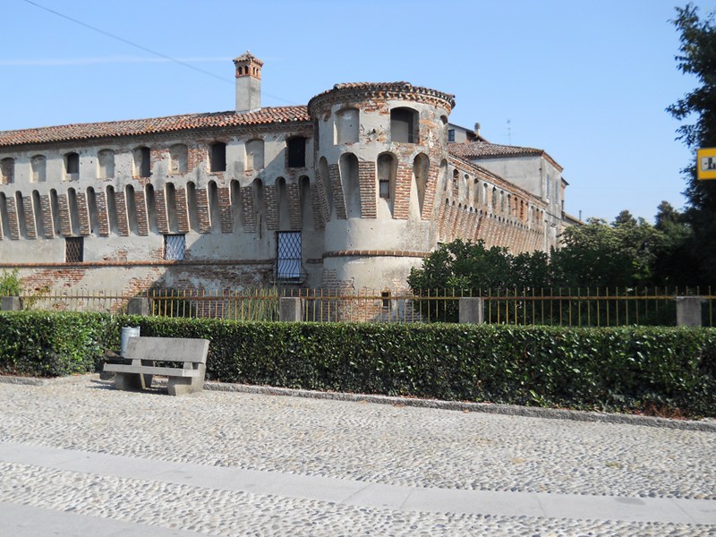
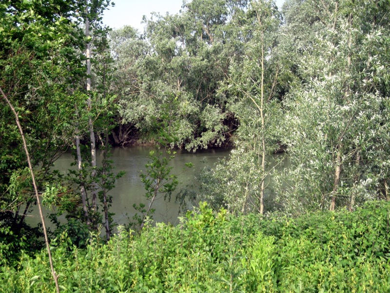
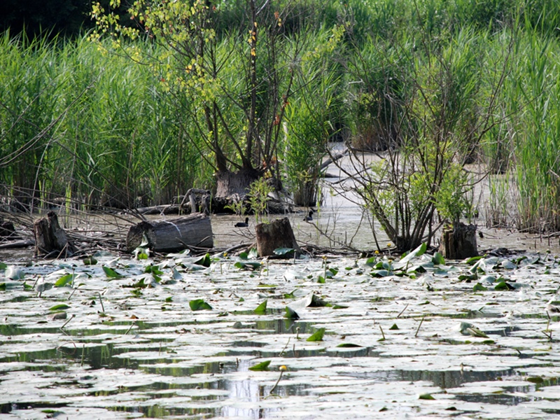
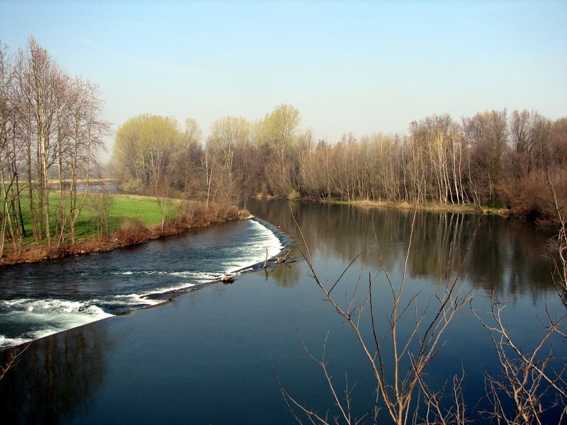
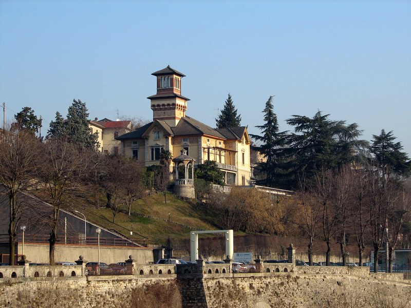
The path, of about 100 km, includes the upper part of the Oglio river, from the exit of Lake Iseo to Gabbioneta and Ostiano, between steep and wooded shores, surrounded by an agricultural territory. There are riparian wooded strips of botanical value, as well as bodies of water and meanders with aquatic vegetation. Important are the historical and architectural of the Municipalities bordering the river.


