Points of Interest
Parè Wetland
Spina Verde Regional Park is characterized not only by the several
historical finds and evidences covering a period of over 2,000 years,
but also by sites of great naturalistic interest. For its environmental
value, the Regional Park has obtained the status of both Regional Park
and Site of Community Interest.
From a naturalistic point of view,
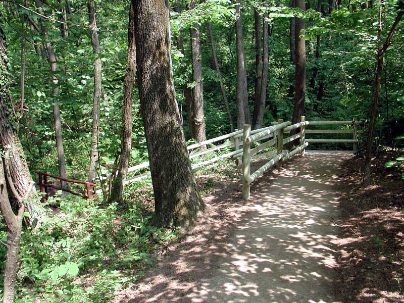
one of the most charming areas is Parè wetland. Parè wetland consists
of several pools and represents the natural habitat for several plant
and animal species. The vegetal species include some alders preferring
wet grounds, as well as several fern species and the characteristic
hygrophilous vegetation. Besides common frogs and salamanders, Parè
wetland also welcomes the Italian Agile Frog, reproducing in the area
during the spring. This frog has a particular red coloring and is
safeguarded by the recent European directives on protected species.
Seveso Springs
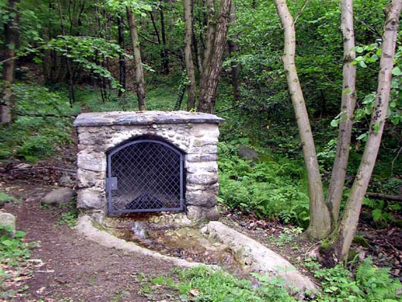
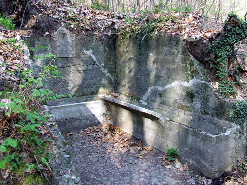
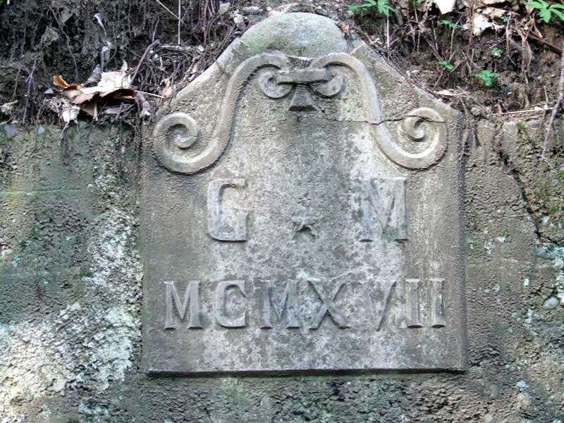
Among the most charming naturalistic places in Spina Verde, the springs of the river Seveso are worth a mention. Here you will find the monument built in the 1990s by Associazione Alpini Sezione di Cavallasca and Associazione Amici di Cavallasca, who are still in charge of its maintenance. The water springs from a mountain area called Majocca, with the Celtic root "moi" meaning water. This word root has been maintained in the dialect of Lombardy (moj - soaked, dripping wet). The area houses several species of insects and flowers which, in spring, cheer up the area with their bright colors.
Archaeological Areas: Roccione di Pianvalle
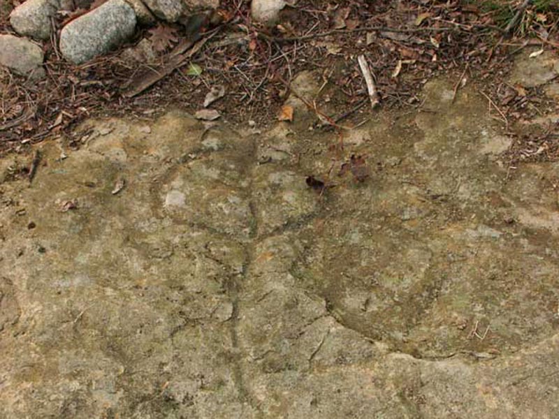
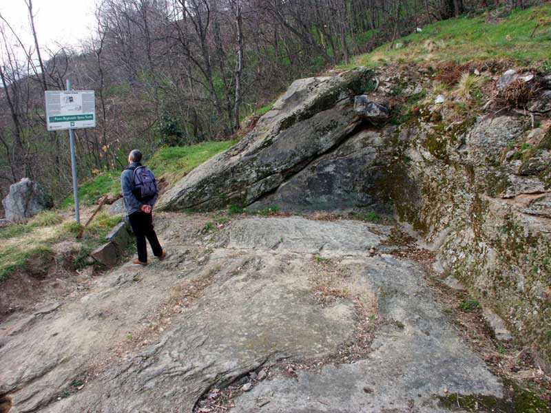
The carved rocks represent a further evidence of the presence of the ancient Golasecca civilization in Spina Verde Regional Park. The most important place where you can observe rock carvings is Roccione di Pianvalle. It is a rock-altar bearing carvings with ritual-devotional purposes linked to the stone and sun worships; among the figurative rock carvings there are axe and triangle-shaped carvings (linked to the vulvar symbols of fertility), as well as "phi"-shaped anthropomorphic figures with small horns.
Archaeological Areas: Roccione di Prestino
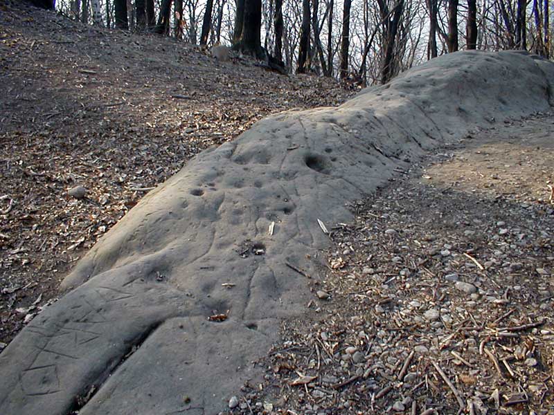
Another place where you can observe rock carvings is the so-called Roccione di Prestino, signalled for the first time in 1877 by Vincenzo Barelli. It is characterized by several carvings like carved steps, small cupel-shaped holes (round semi-spheres carved in the rock), big and deep holes, among which one with a square section and one with a circular section: Barelli interpreted them as the structure of a grave deprived of its covering stone and burial objects.
Archaeological Areas: Sasso della Strega and Sasso delle Cento Coppelle
The carved rocks in Spina Verde Regional Park can be mainly found in the areas adjacent to the ancient Pianvalle settlement and to the slope of Mt. Caprino characterized by the so-called "Camere in Roccia" (literally meaning "rock rooms"). An exception is represented by two carved blocks situated in loc. Albate, more than one kilometer as the crow flies from the areas historically settled by Golasecchiani. One of them is the so-called "Sass della Stria", or "Sasso della Strega" (literally meaning "stone of the witch"). The rock is characterized by non-figurative carvings (cupels often connected among them with small lines) and figurative carvings (crosses).
Archaeological Areas: Camera Grande
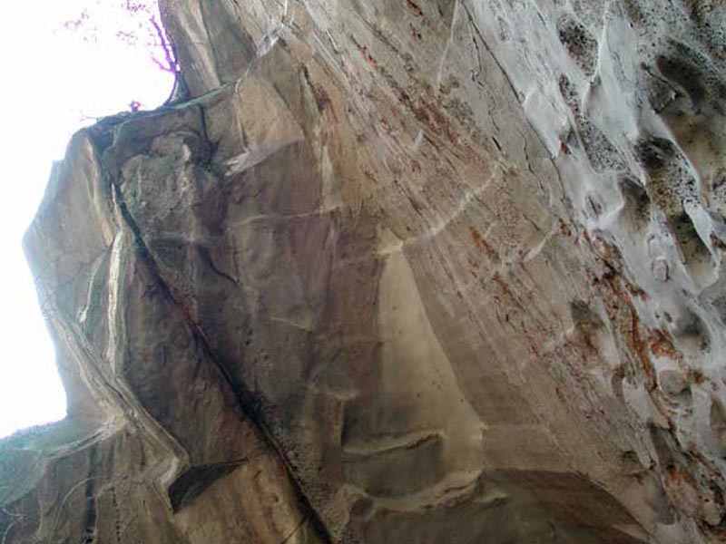
Among the several archaeological finds dating back to the so-called Golasecca civilization (end of the Bronze Age and beginning of the Iron Age - 11th century BC) there are the so-called "Camere in roccia" (literally meaning "rock rooms"): they represent the most ancient settlement finds in the area. The rock rooms are rectangular structures dug into the rock on two or three sides, with an elevated floor in wood and clay and the covering supported by poles. The most evident is "Camera Grande": it has a rectangular base of about 8 meters by 5, three walls dug straight down with a maximum height of 3.15 meters and a big stone bank near the fourth wall facing the valley and forming the wall basement.
Archaeological Areas: Mojenca Springs
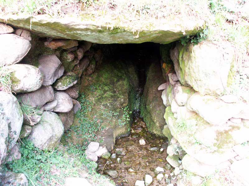
Among the several archaeological finds dating back to the so-called Golasecca civilization (end of the Bronze Age and beginning of the Iron Age - 11th century BC) there are the charming Mojenca Springs. The spring watercourse is covered by a structure consisting of a gallery and supported by lateral dry-stone walls made of big gonfolite sandstone and granite slabs and blocks. The upper covering consisting of big and heavy sandstone and granitoid slab is worth a mention.
Archaeological Areas: The Cart Tracks
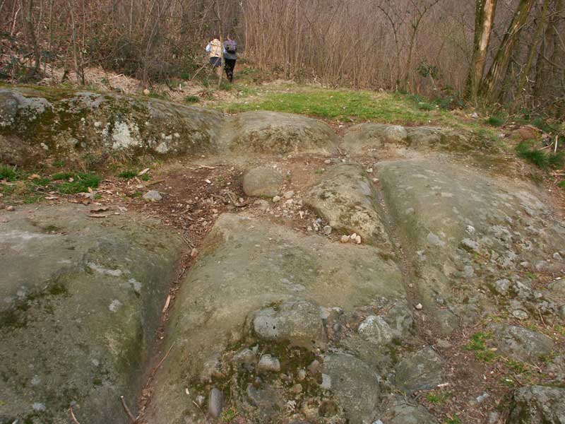
Golasecca civilization (end of the Bronze Age and beginning of the Iron Age - 11th century BC) left several evidences in the territory which is managed today by Spina Verde Regional Park. The so-called "cart tracks" you can find along the "protohistoric" thematic trail no. 11 are the most widespread ones.
The Ancient Quarries
According to recent researches, an important sandstone exploitation activity began in the protohistoric period. From the Roman period to the early 20th century, this activity was characterized by a documented continuity which has been recently highlighted by Furio, who published news regarding several quarries that can still be seen in the Park territory; among them, besides the quarry of the so-called Roccione di Prestino, there are the big quarry of Caversaccio, Salvadonica, and the so-called blue quarry (not very far from the carriage road leading to Pianvalle mountain hut).
The Paradise Staircase
In Spina Verde Regional Park there are several places of cultural
interest that do not belong to the archaeological sites characterizing
the southern slope of the Park in loc. Prestino and Rebbio. As a matter
of fact, Spina Verde Regional Park has a unique feature: it is a border
Park and, for this reason, preserves some particular minor
constructions built to "defend" the Italian territory.
One of the
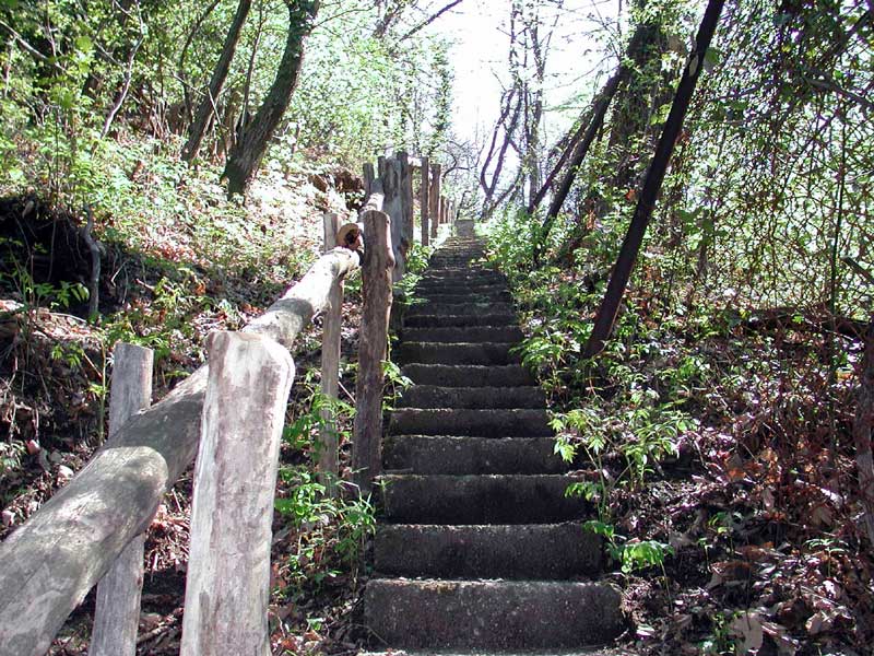
most characteristic ones is without a doubt "Scala del Paradiso", that
is Paradise Staircase. The name gives the idea of the over nine hundred
steps connecting Ponte Chiasso with Sasso di Cavallasca. Built at the
end of the 19th century to promote a better control of the border by
the tax police, it has paradoxically become an "infrastructure"
favoring smuggling between Switzerland and Italy in the 1950s-1970s.
Ramina and the Southernmost Point of Switzerland
Along the border trail no. 2 it is possible to find stretches of the border fencing, called "Ramina". The fencing is entirely situated in the Italian territory: as a matter of fact, you can notice how the real State border, marked with low boundary stones, is at least 5-15 meters beyond Ramina. During the last century, the tax police placed some bells on Ramina in order to signal the presence of smugglers illegally crossing the border.
Baradello Castle
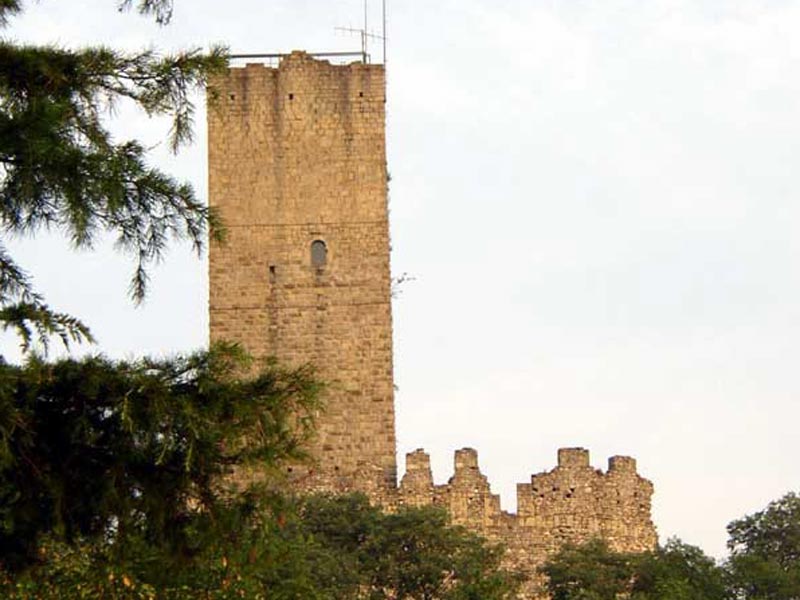
Baradello Castle is the symbol of Spina Verde Park.
The
fortification was built on a hill which, for its orographic features,
was used more than once as a strategic position to watch over the
surrounding territory. The name Baradello derives from the Celtic term
"barrus" - meaning elevated place. We can therefore assume it was
already used during the Celtic period. The Roman coins that have been
found are evidences of its role as a defensive and sighting outpost
during the Roman Age, while Georgius Cuprios (George of Cyprus) in his
"Descriptio Orbis Romani" (647 AD) informs us that, when the Romans
were trying to defend themselves from the barbarian people, the place
was used as a military outpost of Limes, that is the border of the
Roman State.
Parco delle Rimembranze
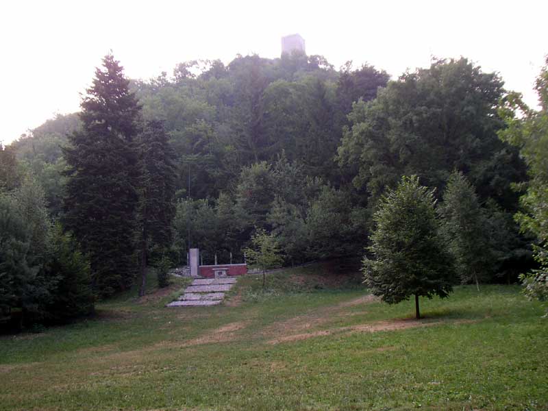
Parco delle Rimembranze lies near Baradello Castle.
The area
represents one of the most charming places between Colle Bradello and
Colle del Respaù. It has a particular shape which avoids the presence
of acoustic pollution. Once you get to Parco delle Rimembranze, you
will feel as if you had gone back of 1,000 years, at the time of
Redbeard. In the big meadow, Alpini built an altar of commemoration of
the Dead: here ceremonies and Holy Masses are held sometimes.
The Panoramic Points
Spina Verde Park is a 360-degree panoramic terrace over the surrounding territory. Among the main panoramic points, Mt. Sasso di Cavallasca, the hills of Como, and Mt. Goi di Albate.
World War I Trenches
The line of defence at the northern border built during World War I
stretches from Ossolane valleys to the Orobie passes, crossing the
mountain territory in the north-west of the town of Como, which is
today part of the area called Parco della Spina Verde. Such line is known as "Cadorna Line".
In
the fortification complex in Sasso di Cavallasca, the most important
one from a strategic-military point of view is the trench and
underground passage system of the "small fort" of Mt. Sasso.
The
structure is of great interest for tourists, since it develops on
several floors and includes several minor constructions. The central
U-shaped gallery dug into the rock was used as a weapon and food
deposit, as well as a shelter for the soldiers and is surrounded by a
360-degree complex system of trenches and communication trenches with
several observation points, and mortar and machine-gun postings.
Further
trenches can be visited at Seveso Springs and on Mt. Olimpino; the
latter are subject to specific measures in order to enhance the place
and make it safe for tourists.
Assumption Sanctuary in Drezzo
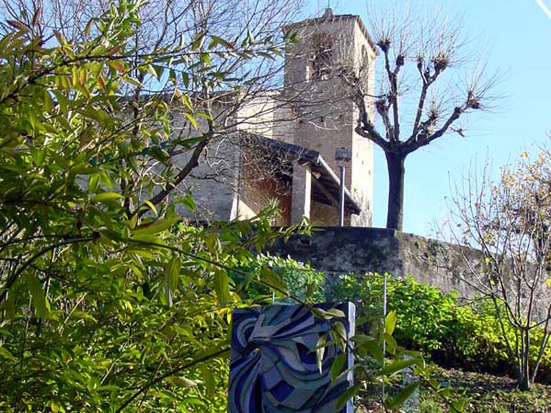
The small church dedicated to the Assumption in Drezzo is situated in a dominating position over the town and Val Mulini. The building is characterized by interesting architectural features: the apse and the main body are Romanesque, while the frescoes of the façade and the image of the Virgin Mary date back to the 15th century. In the interesting collection of the ex voto displayed in a niche, both everyday life episodes and historical events are represented. The small church, one of the first ones built in the area (like Santo Stefano in Pedrinate), became a parish church in 1500 and a sanctuary in 1935.
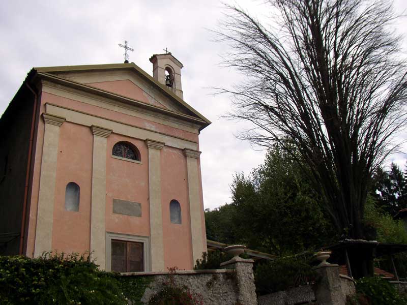
The Painters' or San Rocco Small Church in Cavallasca
The oratory is situated in loc. Colombirolino in Cavallasca. It was built on a terrace cut into the hillside, superelevated with respect to the road, along the stream Seveso. It is painted in pink, with four yellow pilaster strips at both sides of the entrance portal. Between the pilaster strips, two blue niches characterize the façade ending with a triangular pediment above which the belltower stands out.
Sant'Eutichio Cross
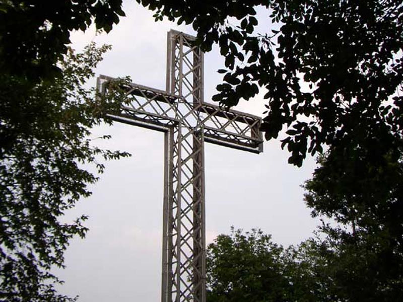
The Cross is situated at the top of Sant'Eutichio hill, facing the southern part of the town and overhanging a cliff. It was built on the occasion of the 19th Centennial of Jesus Christ Crucifixion, when Pope Pius XI proclaimed the Holy Year. The men of the Catholic Action from Como installed on the hill an iron Cross to replace the wooden cross standing there from time immemorial.
Archaeological Areas: Pianvalle Settlement
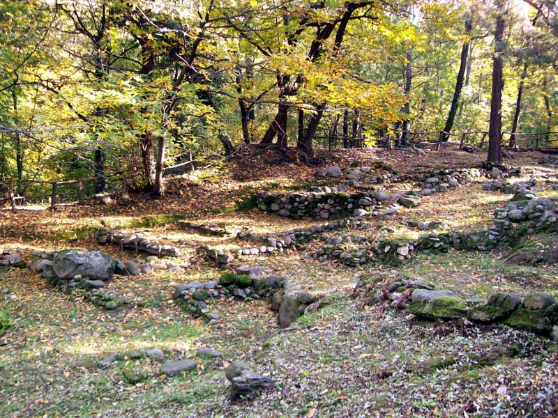
The settlement of Pianvalle is situated on the slopes of Mt. Caprino; it was found during a series of excavation campaigns which began in 1971. The area is rich in traces of buildings and places built with dry-stone techniques. This area was probably settled during the Neo-Calcolithid period (documented by some rock carvings), while a first settlement stage can be dated back around the 9th-8th century BC. The considerable density of structures highlights a proto-urban kind of organization.


