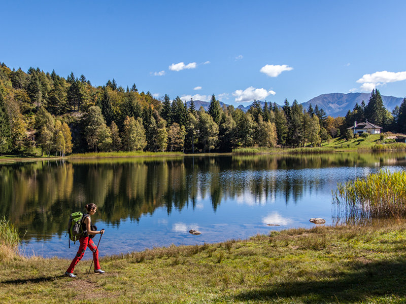
From Pochi di Salorno to Rifugio Potzmauer
- Trail Conditions: On foot
- Departure: Pochi (563m)
- Arrival: Rifugio Potzmauer (1,282m)
- Duration: 6 h (without stops)
- Length: 18.4 km
- Difference in height: Uphill 1,200m - Downhill 450m
From the parking lot in Pochi (m563), near the church, follow the Dürer Trail and the signs to Rifugio Sauch. For about 30 minutes, the trail runs downhill, through woods and countryside, on secondary tarmac roads. Then go up along Trail No 1 until Rifugio Sauch (m.946). There, follow the sign to Lago Santo (No.409) and take a dirt road that runs along the Roccolo and leads to the Croccola Pass. Turn left (signage 409) and go up through a fir wood. Reach the Pozze and continue on your right (No. 409A) until the Lagabrun Reserve. Keep the biotope on your right and reach the forest road shortly after the crossing with Trail No. 414 to Lago Santo (m1206). Behind the hut, take the road (E5/ 415/S.I.) to Prati delle Vegiose and, after about 3km, to the Zise Pass. Go down on the paved road, carved into the side of the mountain, towards Ponciach (415A) until the crossroads with the botanical path. Go left and reach Lago di Valda (Prati di Monte), in about one hour. To reach Potzmauer Hut (m.1282) go down the forest road, following the signs E5/ n.415/ Rif. Potzmauer.
1 lap of: Trekking of the Ancient Lakes


