Riserva Naturale delle Falesie di Duino
Rilke path
- Trail Conditions: On foot
- Interest: Flora, Geology, Panorama, Hystory, Photography
- Duration: 1 hour/s 30 minutes
- Difficulty Level: Path T1 - Hike
- Length: 1.7 km
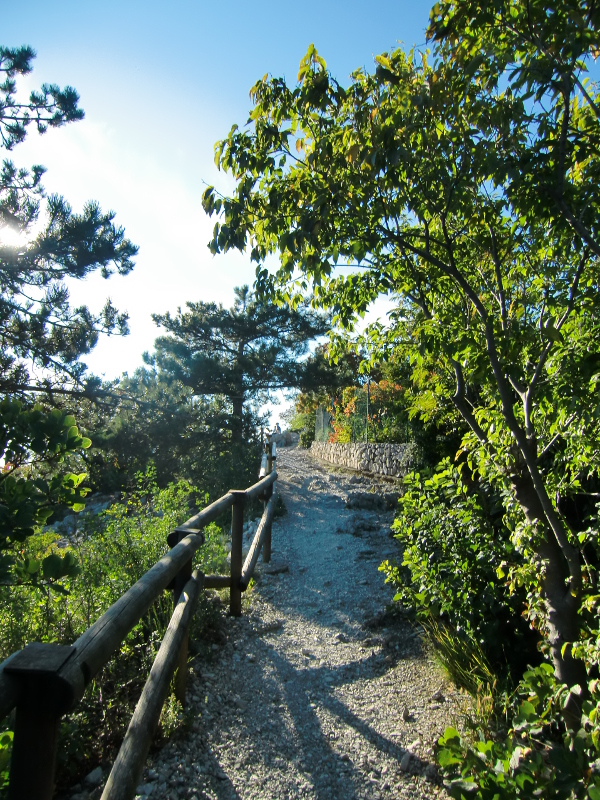
Starting to walk the Rilke path from Sistiana, by the Sistiana Information Point, one walks along a stretch of the camping area on the right and along the abandoned quarry near the sea on the left. At the end of the quarry the path crosses a field cut through by calcareous rocks and stretches made of crashed rocks. Here one can observe the low gnarled black pines withstanding the extreme temperature and water conditions.
Once left the field one reaches the bunker dating back to World War II, which is used as panoramic point. Climbing down a corridor looking out onto the cliffs with a small terrace, it is possible to observe the coast below. The path continues between sparse woodlands and cut-through fields, up to an upland marked as a panoramic point. It is the path's highest point with its 90 meters above sea level. From this point the panorama also includes the karst upland and the karst hill chain, with the highest relief represented by the Hermada Mount (323 meters). After this panoramic point, the path continues along the cliffs, between black pines, fields and rocky outcrops.
Going into the pinewood one reaches the fork which is possible to reach the state road 14 from. The main path continues along the border of the cliffs; between woods and rocks it reaches a panoramic point situated on the ruins of another bunker from World War II. From here the path continues up to a fork, where one can deviate towards the state street or reach the new part of the path to arrive to the built-up area of Duino.
The path passes near the excavations of military realization and continues into the thick pinewood mixed with holm oaks up to the built-up area of Duino. The path for people with reduced and hindered motor skills begins from the built-up area of Duino and reaches the small square in the border of the cliffs.


