Itineraries
Itineraries in the Nature Reserve
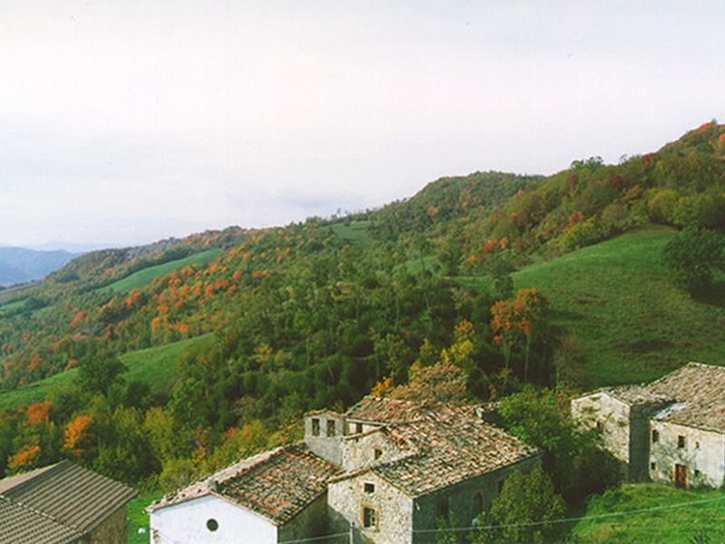
The area is crossed by a thick network of trails converging towards Sasso di Simone, connecting the Nature Reserve with the territory of Tuscany and the Marches. If we consider the slope of Arezzo, the main routes, also marked with the letters of the alphabet, mainly follow the CAI trail network and its alternative routes. The shortest itineraries leave from the exchange car parks in Case Barboni (Trail B), Casa del Re (Trail C and Nature Trail), and Martigliano (Trail D). If you have time, the other itineraries give the opportunity to visit small villages, places, and landscapes of great interest: from west to east, the ridge trail A (CAI no. 17) you can take from Miratoio or from Poggio Mazzolo and the long but easy trail CAI no. 5A, leaving from Cantoniera of S. Cristoforo Pass and connecting with CAI no. 65 after Poggio delle Campane, maintaining itself always in the mountains up to Petrella Massana and Case Barboni; from south to north, the demanding CAI trail no. 61 leading from Sestino to the charming Romituccio and trail F (CAI no. 71) leading from Monteromano to Torre di Monteromano; from east to west, trail E (part of CAI no. 7) leading to the beautiful Fusigno Castle and continuing in the grassland of the ridge.
The access to the highest area of the Nature Reserve is not allowed during the military maneuvers held in the Rifle Range during some periods of the year; information on this can be obtained by calling the Information Office or the Visitor Center.


