Parco Regionale Gallipoli Cognato
Piccole Dolomiti Lucane
www.parcogallipolicognato.itItineraries
Park Routes
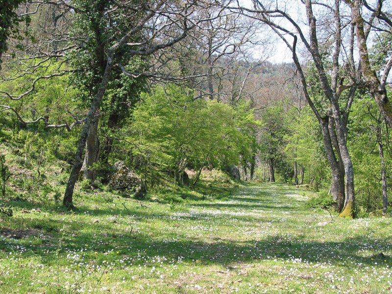
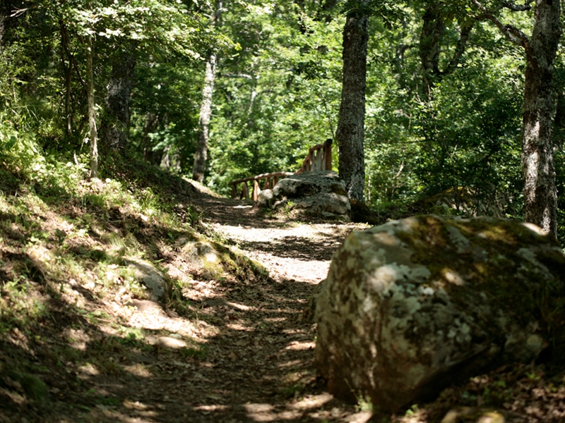
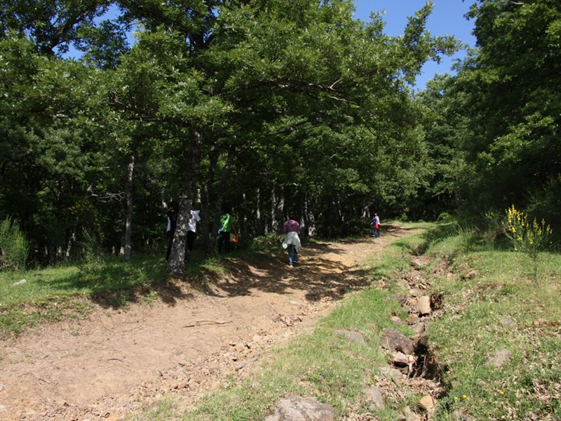
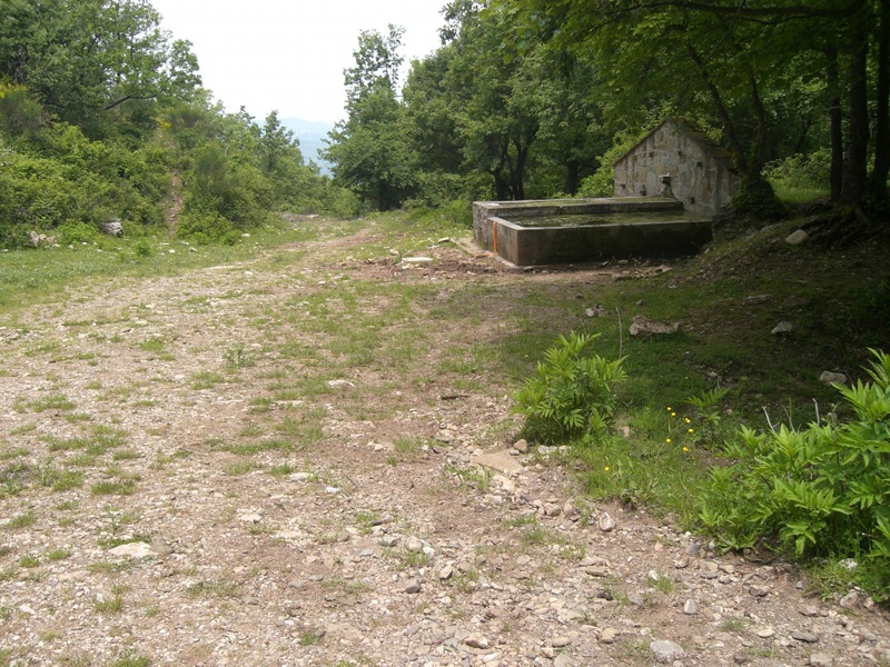
The Park features an extensive network of trails, designed to meet the needs of seasoned hikers and those who prefer relaxed strolls, offering a chance to connect with untouched nature.
The primary facilities of Gallipoli Cognato Park and the Lucanian Dolomites are situated in the Palazzo area, within the municipality of Accettura. This location, accessible via the provincial road linking the Campomaggiore junction on the Basentana (S.S. 407) to Accettura, also serves as the starting point for many excursions, visits, and educational or recreational activities in the park.
 General Trail Map (Italian text)
Sentiero n. 701
Departure: Caserma Palazzo
Map with georeferenced itinerary
Typology: On foot, By bike, On horseback
Difficulty Level: E - Hiking (level)
Duration: 3 h
Interest: Flora, Wildlife, Panorama
Sentiero n. 702
Departure: Palazzo
Map with georeferenced itinerary
Typology: On foot, By bike, On horseback
Difficulty Level: E - Hiking (level)
Duration: 4 h
Interest: Flora, Wildlife, Panorama
Sentiero n. 703
Departure: Calciano
Map with georeferenced itinerary
Typology: On foot, By bike, On horseback
Difficulty Level: T - Tourist (level)
Duration: 5 h
Interest: Panorama, History
Map with georeferenced itinerary
Typology: On foot, On horseback
Difficulty Level: T - Tourist (level)
Duration: 4 h
Interest: Flora, Wildlife, History
Map with georeferenced itinerary
Typology: On foot, On horseback
Difficulty Level: T - Tourist (level)
Duration: 3 h
Interest: Panorama, Archeology, History
Map with georeferenced itinerary
Typology: On foot, On horseback
Difficulty Level: T - Tourist (level)
Duration: 3 h
Interest: Flora, Panorama, History
Map with georeferenced itinerary
Typology: On foot, On horseback
Difficulty Level: T - Tourist (level)
Duration: 3 h
Interest: Panorama, History
Sentiero n. 708
Departure: Oliveto Lucano
Map with georeferenced itinerary
Typology: On foot, On horseback
Difficulty Level: T - Tourist (level)
Duration: 4 h
Interest: Flora, Wildlife, History
Sentiero n. 709
Departure: Pietrapertosa
Map with georeferenced itinerary
Typology: On foot, On horseback
Difficulty Level: T - Tourist (level)
Duration: 6 h
Interest: Flora, Wildlife, Panorama
Sentiero n. 710
Departure: Castelmezzano
Map with georeferenced itinerary
Typology: On foot, On horseback
Difficulty Level: T - Tourist (level)
Duration: 2 h
Interest: Panorama, History
Sentiero n. 711
Departure: Castelmezzano
Map with georeferenced itinerary
Typology: On foot, On horseback
Difficulty Level: T - Tourist (level)
Duration: 2 h
Interest: Flora, Wildlife, Panorama
Map with georeferenced itinerary
Typology: On foot, On horseback
Difficulty Level: T - Tourist (level)
Duration: 2 h
Interest: Flora, Wildlife, Panorama
Map with georeferenced itinerary
Typology: On foot, On horseback
Difficulty Level: E - Hiking (level)
Duration: 3 h 30 m
Interest: Flora, Wildlife, Panorama
Map with georeferenced itinerary
Typology: On foot, On horseback
Difficulty Level: T - Tourist (level)
Duration: 1 h
Interest: Flora, Wildlife, Panorama
Sentiero n. 715
Departure: Accettura
Map with georeferenced itinerary
Typology: On foot
Difficulty Level: T - Tourist (level)
Duration: 1 h
Interest: Flora, Wildlife
Map with georeferenced itinerary
Typology: On foot
Difficulty Level: T - Tourist (level)
Duration: 2 h
Interest: Wildlife
Sentiero n. 717
Departure: Oliveto Lucano
Map with georeferenced itinerary
Typology: On foot
Difficulty Level: T - Tourist (level)
Duration: 1 h
Interest: Flora, Wildlife, Panorama
Map with georeferenced itinerary
Typology: On foot
Difficulty Level: T - Tourist (level)
Duration: 1 h
Interest: Flora, Wildlife, Panorama
Map with georeferenced itinerary
Typology: On foot
Difficulty Level: T - Tourist (level)
Duration: 3 h 30 m
Interest: Flora, Wildlife, Panorama
Park Cycling Route
Ciclovia della Bellezza
Dedicated to Prof. Francesco Corbetta, Italian naturalist and botanist (1932–2019)
Map with georeferenced itinerary
Typology: By bike
Difficulty Level: Generally moderate, with some technical variations...
© 2025 - Ente Parco Gallipoli Cognato Piccole Dolomiti Lucane


