Itineraries
Paths and excursions
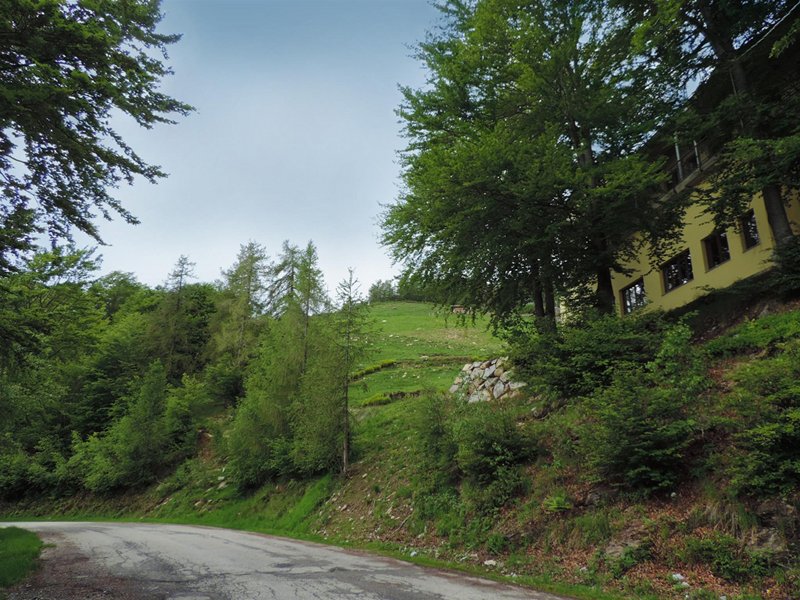
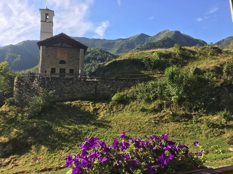
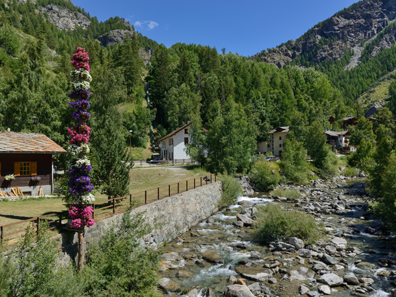
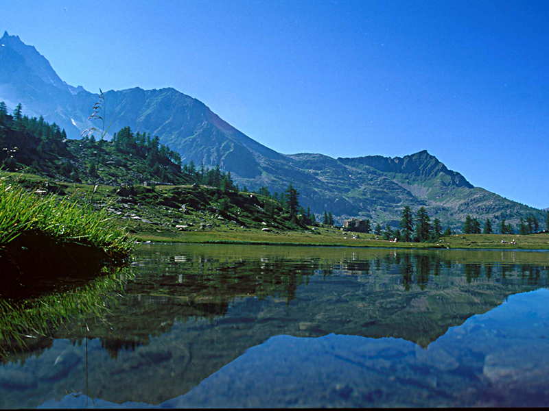
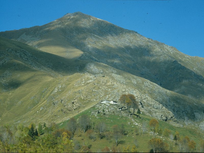
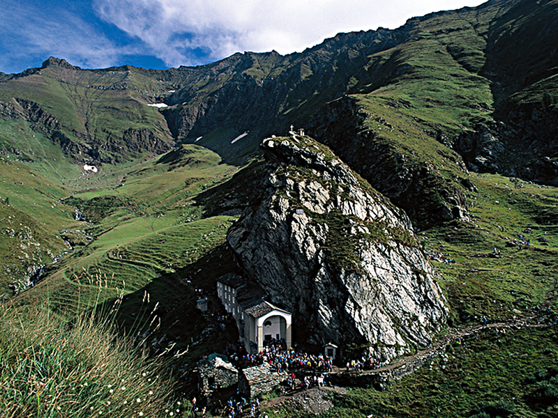
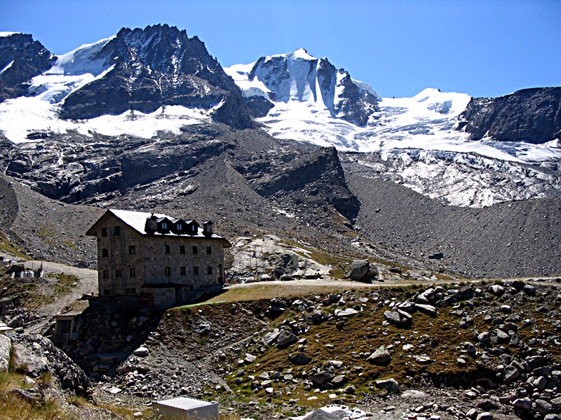
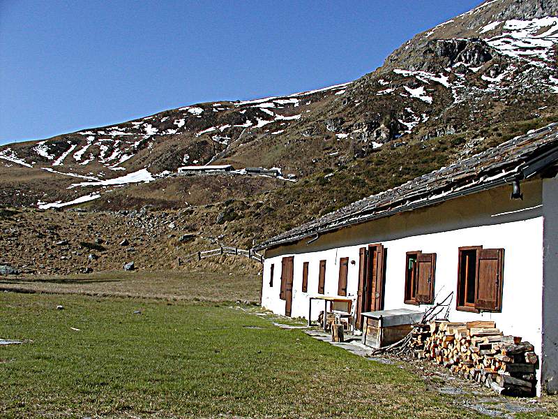
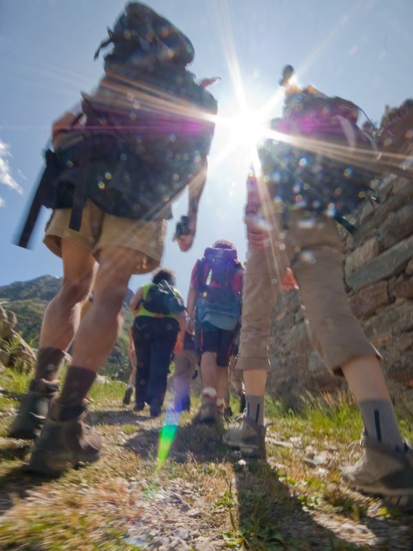
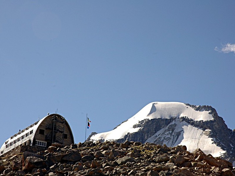
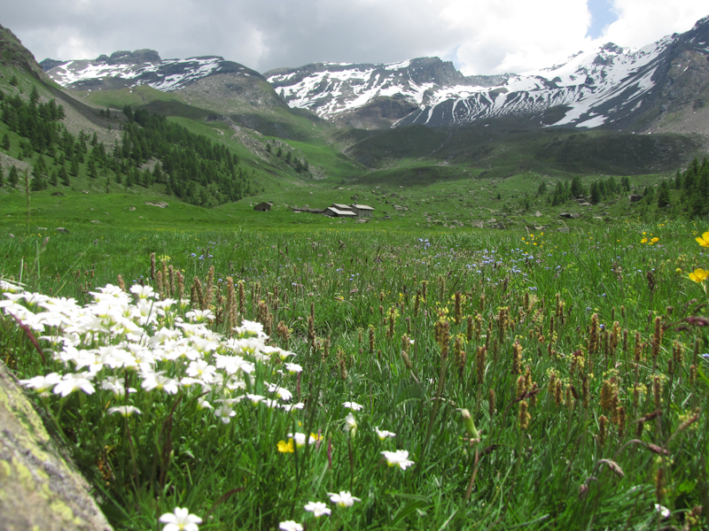
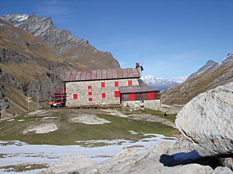
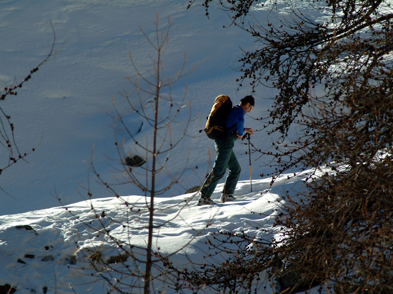
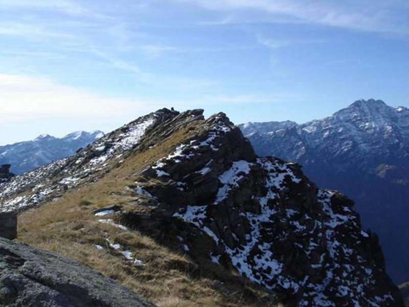
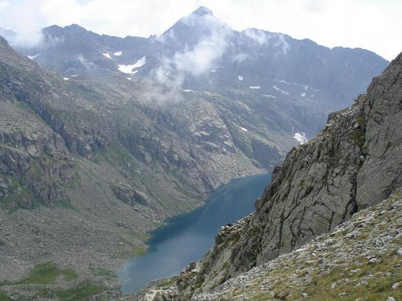
The network of paths crossing the Park expands for over 500 Km through those five valleys included in the protected area. The interactive map permits to navigate within the single valleys, choosing the path that best suits your needs and skills, it's also possible to filter for difficulty and season.
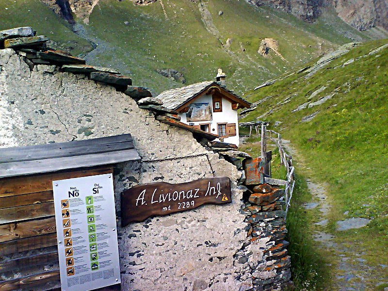
Pay attention to the routes starting point, signs and signals indicating the route, the trail (if available), the journey time and some behaviors to avoid for the people safety and the safeguarding of flora and fauna within the protected area.
Cycling tours
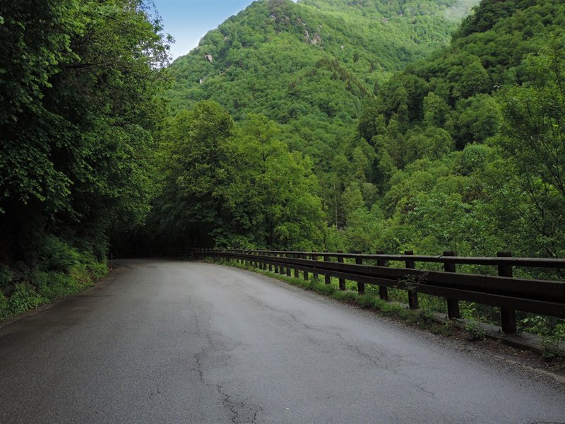
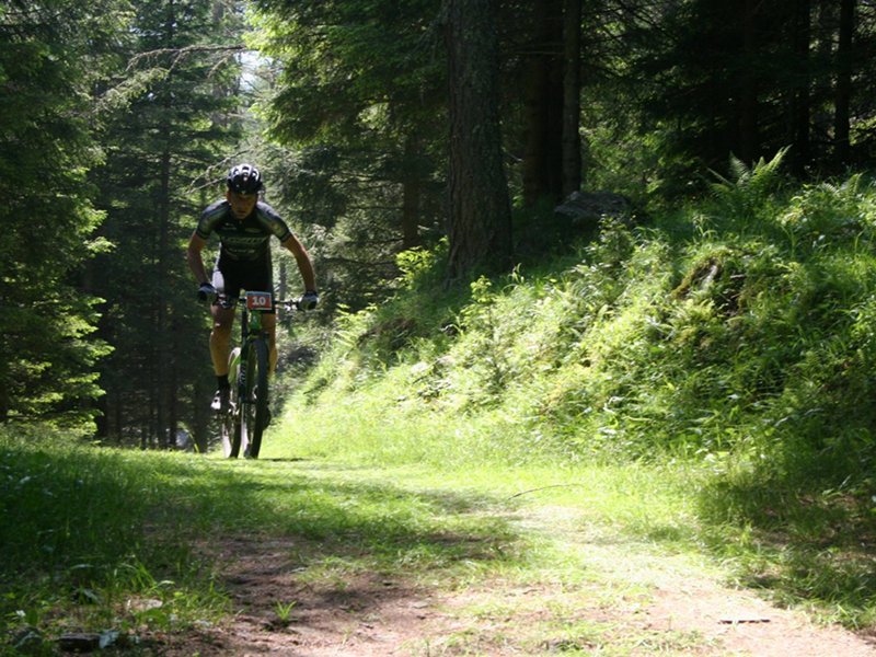
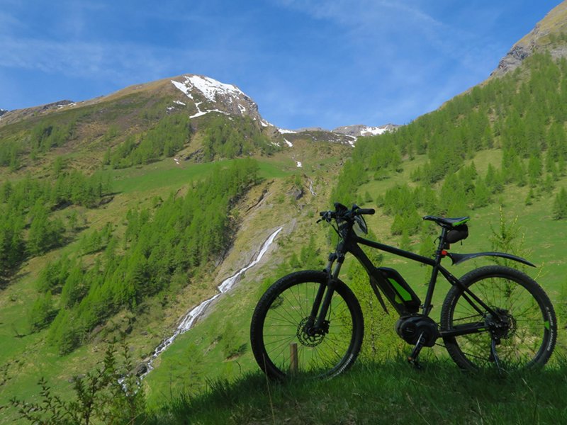
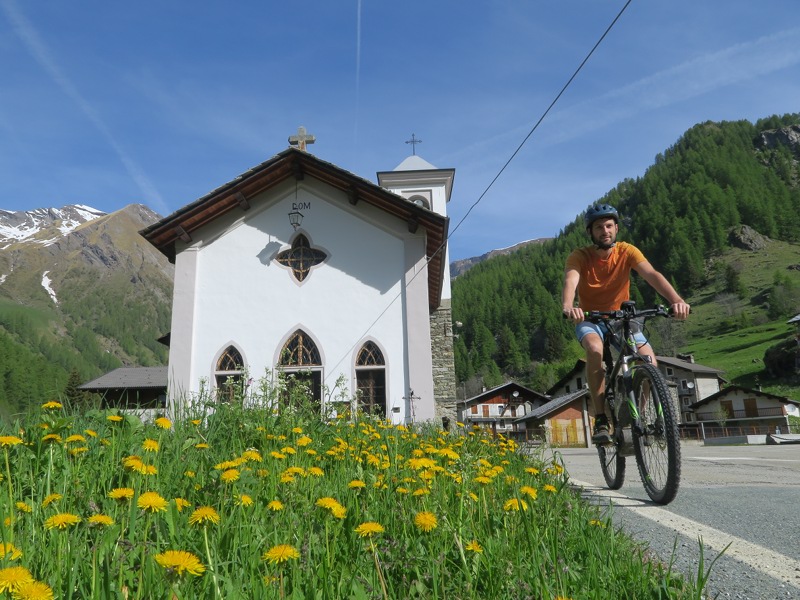
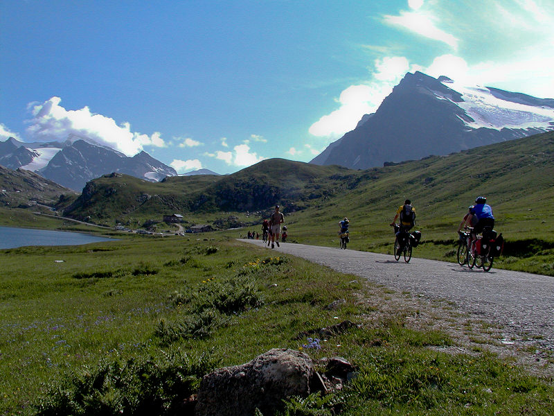
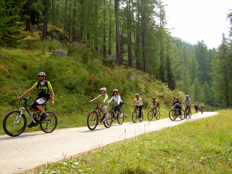
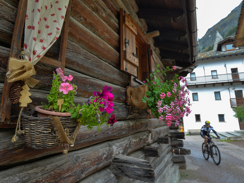
Whether on paved roads or dirt roads, in the park or bordering areas, cycling is good for nature, for leisure and sport. Choose the route that suits you and remember that with an e-bike everything is possible!
When cycling don't forget that you are in a nature reserve and that you must follow the general rules of conduct and always remember to watch out for hikers routes with dirt roads.
Nature Trails
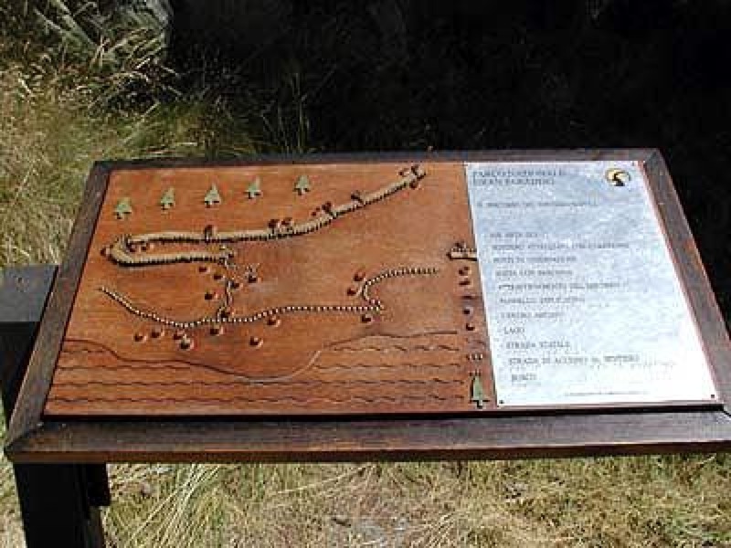
Itineraries of various length and difficulty level, characterized by laps with information panels or by numbered trail markers referring to specific brochures you can find in the Visitor Centers.
Further informationItineraries proposed in the Park's valleys
Itineraries of various length and difficulty to discover the most unknown corners of the protected area. Not only itineraries, but real emotions to experience the Park in all its aspects.
Further information
Orco Valley
Further informationSoana Valley
Further informationCogne Valley
Further informationValsaverenche
Further informationRhemes Valley
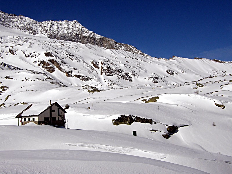
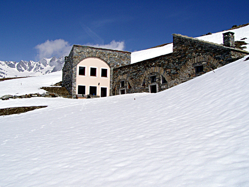
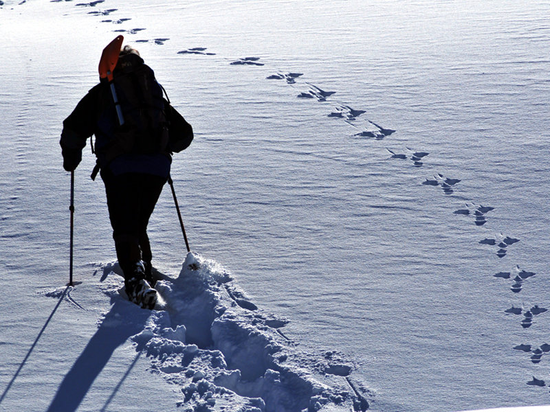
Further informationTours with Snowshoes
Itineraries with snowshoes in the Park valleys
In order to appreciate the natural beauty of the Park with the snowshoes let the official guide accompany you (see the section Park Interpreters).
Attention please: before you leave for an excursion, always verify the nivo regional meteorological bulletins (very useful the Bollettino Aineva Neve e valanghe), since the areas may be subject to avalanche hazards phenomena. For more information about security visit the website of the Fondazione Montagna Sicura.


