Parks.it Homepage

Parco Naturale Regionale delle Prealpi Giulie

www.parcoprealpigiulie.it
 

Itineraries

Itineraries in the Park

We suggest hikers to be equipped with the map of the trails (published by Parco Naturale Regionale delle Prealpi Giulie) and to ask for information and specific material (trail cards, publications) at the Park Head Offices. The following information on the itineraries refer to environmental conditions between late spring and late autumn.
Considering the soil nature, the frequent heavy showers, and the consequent falls in temperature, we suggest to bring a suitable equipment including boots, a light jumper, and a windcheater.


Itineraries in the Park
Bila Pec botanical path
Typology: On foot
Interest: Flora
Borgo Cros - Rio Serai
The village seizing the water behind the mountain of the chamois
Departure: Frazione Povici
Typology: On foot
Difficulty Level: easy
Duration: 1 h - 1 h 30 min
Interest: Panorama, History, Photography
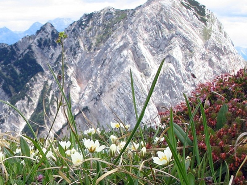
Botanic Trail of Mt. Plauris
Dream-like blooms under the curious look of the wild ibex
Typology: On foot
Difficulty Level: intermediate
Duration: 10 h
Interest: Flora, Wildlife, Panorama, Photography
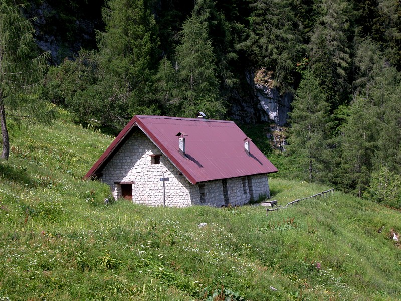
Casera Goriuda
Casera Goriuda
Among beech and fir trees to discover the alpine environment
Departure: Val Raccolana - Loc. Pian della Sega
Typology: On foot
Difficulty Level: intermediate
Duration: 3 h 30 min – 4 h
Interest: Wildlife, Geology, Panorama
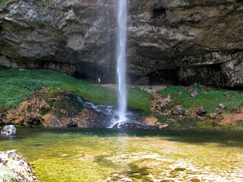
Fontanone di Goriuda
Where water comes back to light
Departure: Val Raccolana – loc. Pian della Sega
Typology: On foot
Difficulty Level: easy
Duration: 30 m
Interest: Geology, Photography
Foran dal Mus geological path
Departure: Sella Nevea
Typology: On foot
Interest: Geology
Malga Coot - Guarda - Infrababa - Malga Coot
The charm of the borders among pastures and rocks
Departure: Malga Coot, alta Val Resia
Typology: On foot
Difficulty Level: intermediate
Duration: 4 h
Interest: Flora, Panorama, Photography
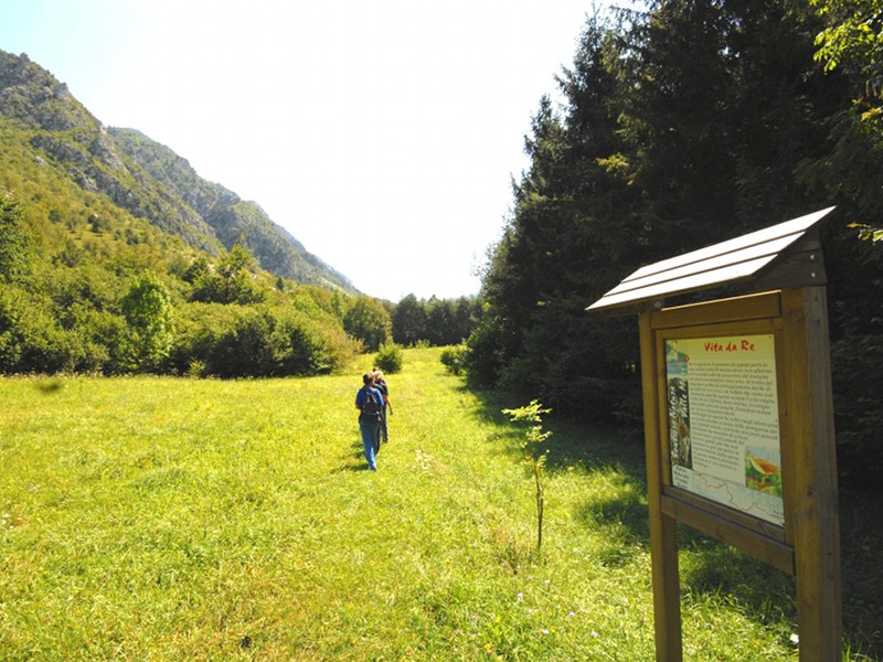
Nature Trail Valle Musi
An itinerary for everyone at the foot of the rocky rampart
Departure: loc. Simaz
Typology: On foot
Difficulty Level: easy
Duration: 2 h
Interest: Flora, History
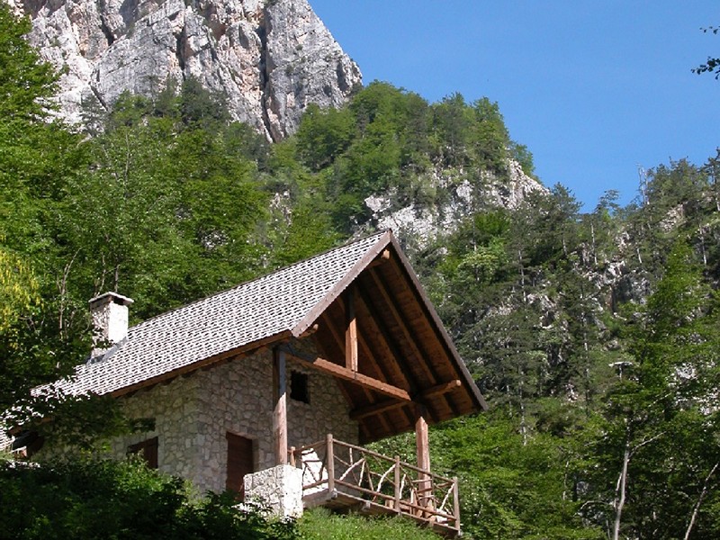
Rio Resartico Mine
Rio Resartico Mine
The history of a wild place written by the hard work of the miners
Departure: Povici di Sopra, Resiutta
Typology: On foot
Difficulty Level: intermediate
Duration: 1 h 30 min - 2 h
Interest: Flora, Wildlife, Geology, Panorama, History
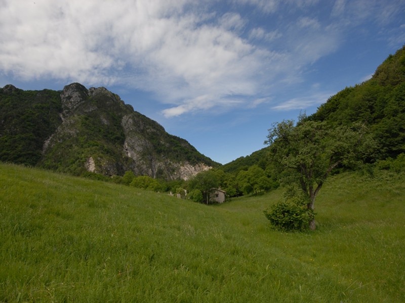
Stavoli Verzan
Stavoli Verzan
The charming of the "stavoli" surrounded by the woods
Departure: S.S. 13 Pontebbana loc. Ponte Moggio
Typology: On foot
Difficulty Level: intermediate
Duration: 3 h 30 m
Interest: Flora, Panorama, History
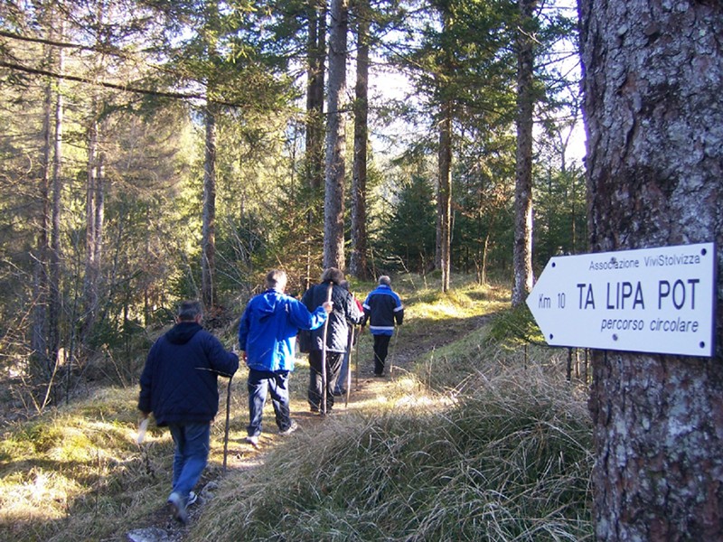
Ta Lipa Pot
Ta Lipa Pot
The "beautiful road" in the heart of Resia
Departure: Stolvizza di Resia
Typology: On foot
Difficulty Level: easy
Duration: 2 h 30 m
Interest: Panorama, History
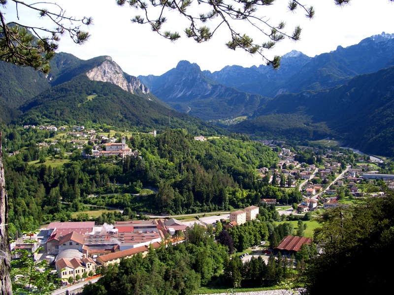
The Trails of Moggio
The charm of nature near the medieval abbey
Departure: Moggio Alto, Complesso Abbaziale
Typology: On foot
Difficulty Level: easy
Duration: 1 h 15 min
Interest: Panorama, Religion, History
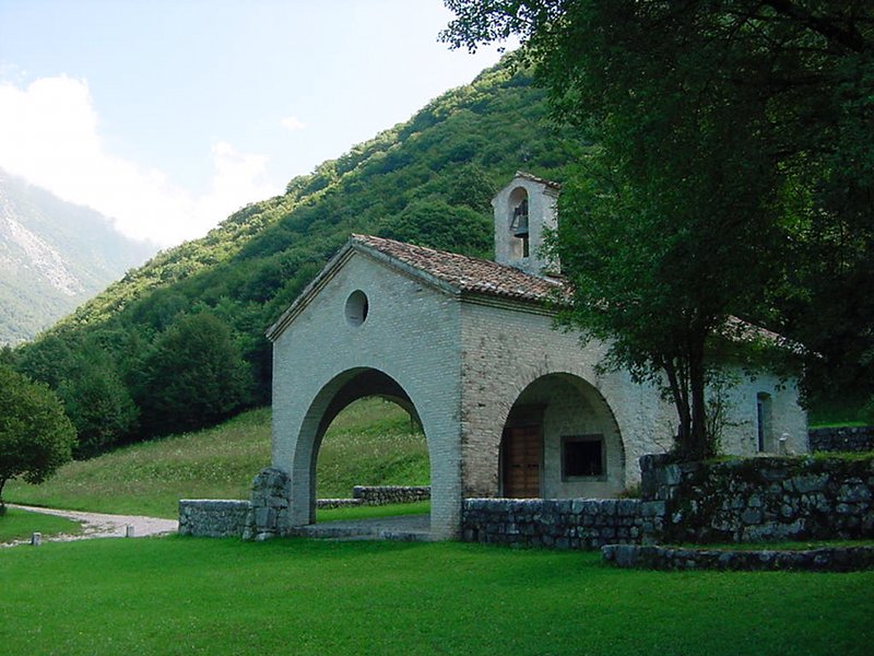
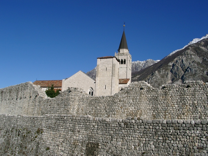
Venzone Small Churches
The stones witnessing the soul of the places
Departure: Porta di San Genesio di Venzone
Typology: On foot
Difficulty Level: easy
Duration: 1 h
Interest: Religion, History

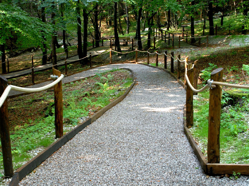
The Accessible Trail

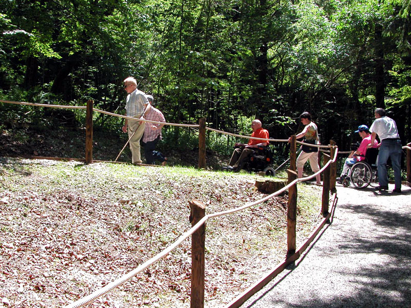
The didactic trail of Pian dei Ciclamini in the Municipality of Lusevera (UD) aims at giving "everyone" the opportunity to enjoy the features of one of the most representative areas of Prealpi Giulie Park.
In particular, in order to promote the visit to the area to various categories of users (school groups, the elderly, people with disabilities, etc.), the Park Authority has considered important to develop the trail in an easily accessible area near to pre-existing accommodation infrastructures.


The Accessible Trail
Pian dei Ciclamini Didactic Trail
Departure: Albergo "Ai Ciclamini", Lusevera
Typology: On foot, Accessible Trail
Difficulty Level: T - Tourist (level)
Interest: Flora, Wildlife, Panorama

Trails in Mountain Bike

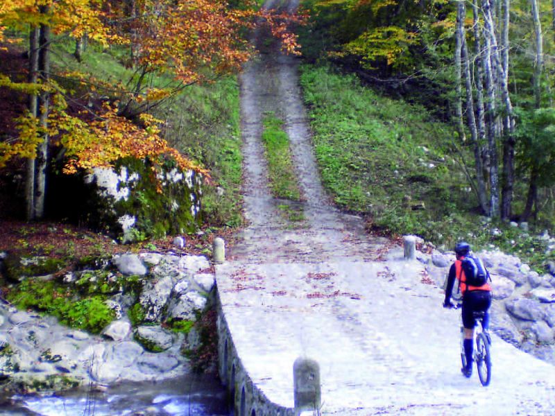
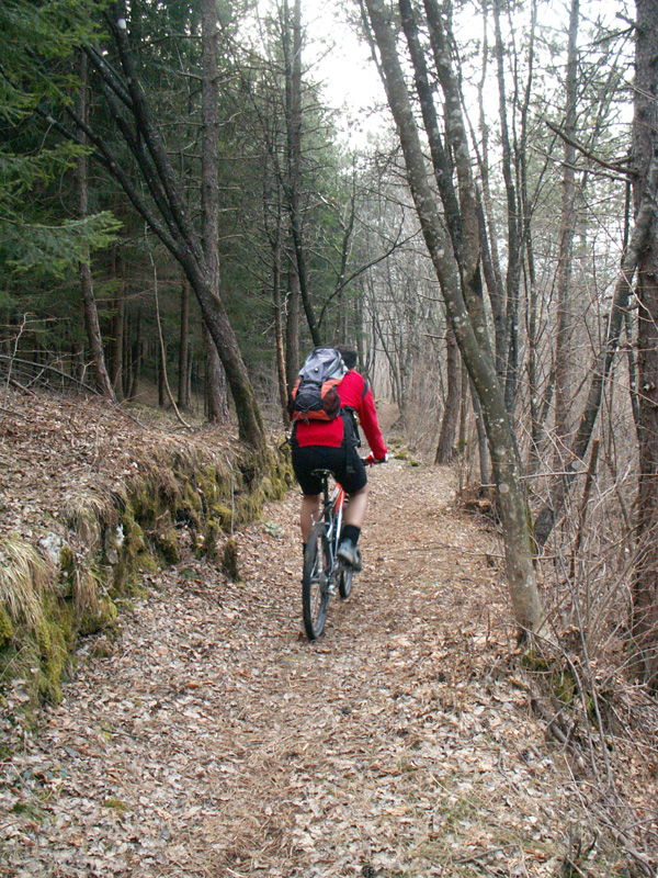
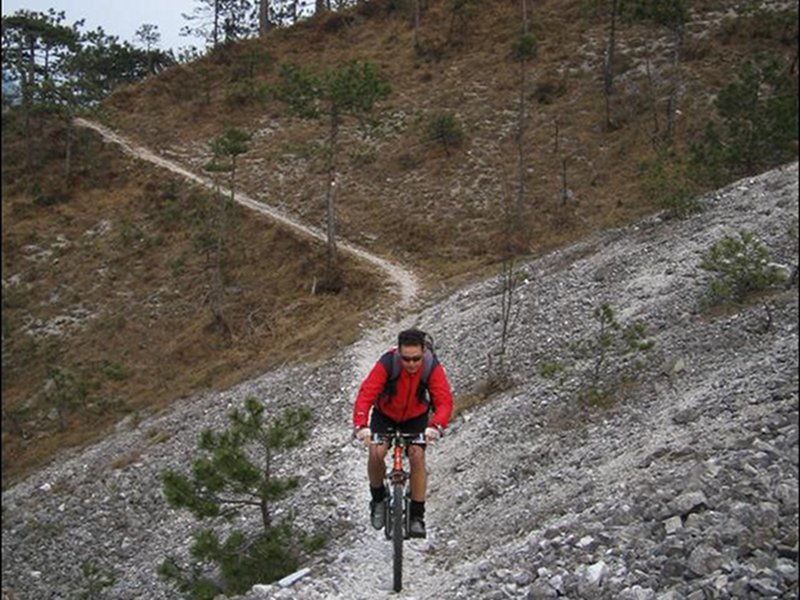
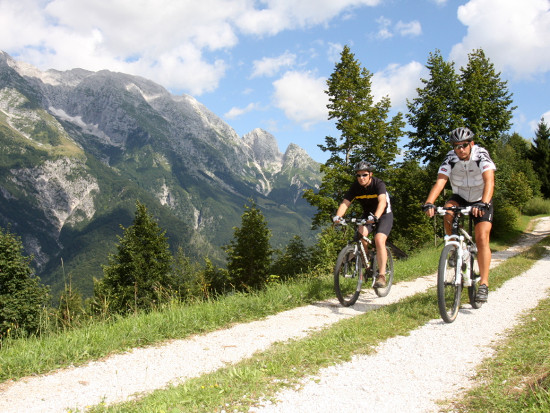
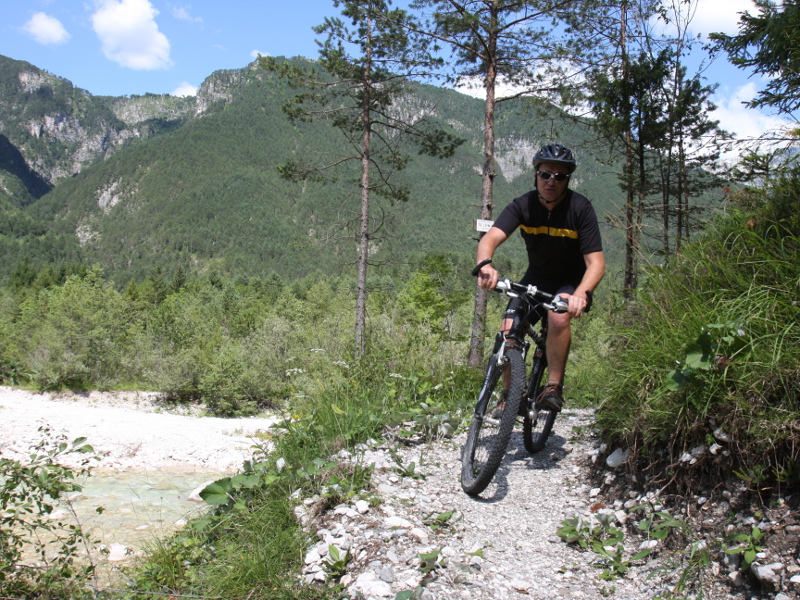
Wonderful and wild trails in Mountain Bike for visiting the Park.
It is possible to discover a variety of environments that change with the seasons' changing, giving the chance of always making new discoveries and getting involved in new emotions.

Itinerariy 2: Valle Musi ring-route
Typology: By bike
Difficulty Level: MC+/BC
Duration: 1h and 45 minutes without stops
Interest: Panorama, Photography
Itinerary 1: low Val Resia ring-route
Typology: By bike
Difficulty Level: MC+/BC
Duration: 3 h
Interest: Panorama, Photography
Itinerary 3: Monte Sflincis ring-route
Typology: By bike
Difficulty Level: MC/BC+
Duration: 1h and 45 minutes without stops
Interest: Panorama, Photography
Itinerary 4: High Val Resia ring-route
Typology: By bike
Difficulty Level: MC/BC+
Duration: 3h without stops
Interest: Panorama, Photography
Itinerary 5: Valle di Uccea ring-route
Typology: By bike
Difficulty Level: MC/BC+
Duration: 3h and 15 minutes without stops
Interest: Panorama, Photography
Itinerary 6: Tugliezzo - Verzan ring-route
Typology: By bike
Difficulty Level: MC-OC/BC+
Duration: 2h and 15 minutes without stops
Interest: Panorama, Photography

Cycle path Alpe Adria

6th stop: Tarvisio - Venzone
Map with georeferenced itinerary
Typology: By bike
Difficulty Level: average
Duration: 4 h
share-stampashare-mailQR Codeshare-facebookshare-twitter
© 2024 - Ente parco naturale delle Prealpi Giulie