Protected Area
Identity Card
- Land Surface Area: 746.00 ha
- Regions: Friuli Venezia Giulia
- Provinces: Trieste
- Municipalities: San Dorligo della Valle / Občina Dolina
- Establishment Measures: LR 42, art. 52 30/09/1996
- PA Official List: EUAP0986
Further information: www.regione.fvg.it
Flora and Fauna
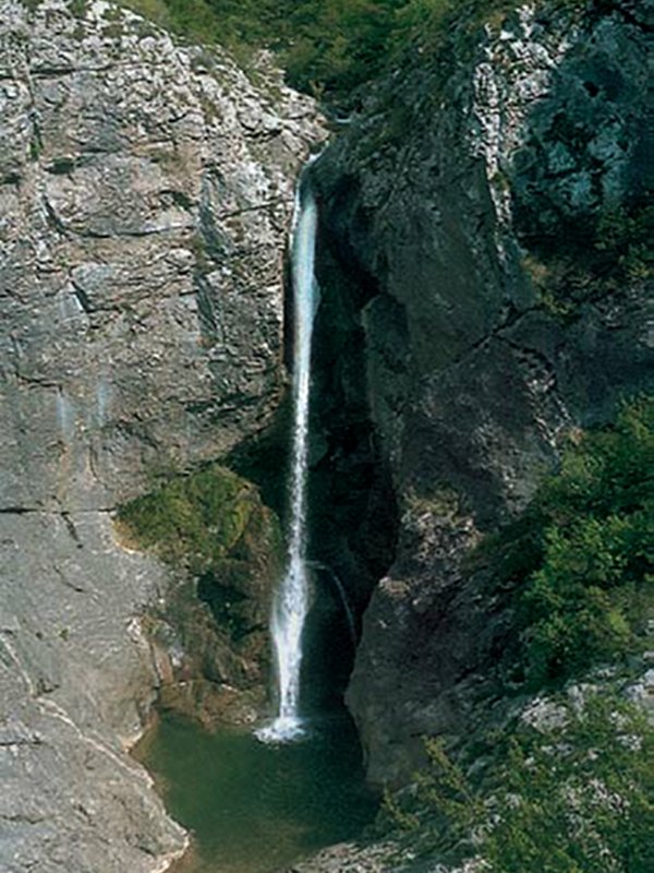
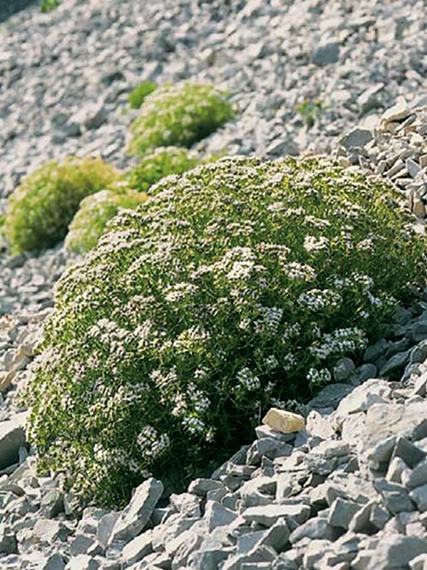
The Val Rosandra-Dolina Glinščice is the only place in the Karst region around Trieste where a superficial stream flows. The word "karst" is usually a synonym for a rocky surface without water courses. The area has an asymmetric vegetation: on the one hand the screes prevail, on the other hand the woods alternate with vertical walls. On some flat areas there are the moors and the grasslands, and near the stream the vegetation is that typical of wetlands.
Also the fauna is well represented: although this is a mainly karst territory, it is one of the areas that are richest in water in the province of Trieste, therefore it allows the presence of a unique population of reptiles and amphibians at a regional and national level.
Mammals, despite they are not easily visible, are numerous: the roe deer, the chamois, the deer, the hare, the squirrel, the dormouse, the fox, the hedgehog, the Etruscan shrew, the lynx, the ermine and many other species. The high number of caves and cavities in the valley are connected with a high presence of Chiroptera, especially the Rhinolophidae, that have been also chosen to symbolize the Val Rosandra - Dolina Glinščice Nature Reserve.

Geology
In the belt occupied by the Val Rosandra Nature Reserve, the most recent elements (40 to 45 million years ago) of the Karst's stratigraphic succession emerges: the paleocene and eocene limestones, that prove the last days of carbonate sedimentation in the Tethys ocean, and the sandstone and the eocene marls of the flysch, turbidite sediments meaning the sinking of the sea platform and of its covering caused by the materials coming from the other continents.
In the course of the succession of alpine tectonic and dinaric stages characterizing the crust development of the periadriatic region (today belonging to Europe), the Val Rosandra area has become a connection zone, therefore the calcareous-turbidite succession which was forced into folds has split in slabs that overlapped each other. The result is a unique area also thanks to its geological features that lend the valley a very special natural charm.
(From the book "La Val Rosandra e l'ambiente circostante"cap. di Franco Cucchi - Cenni geologici")
Further information (Italian text)