Facilities
Guides and couriers
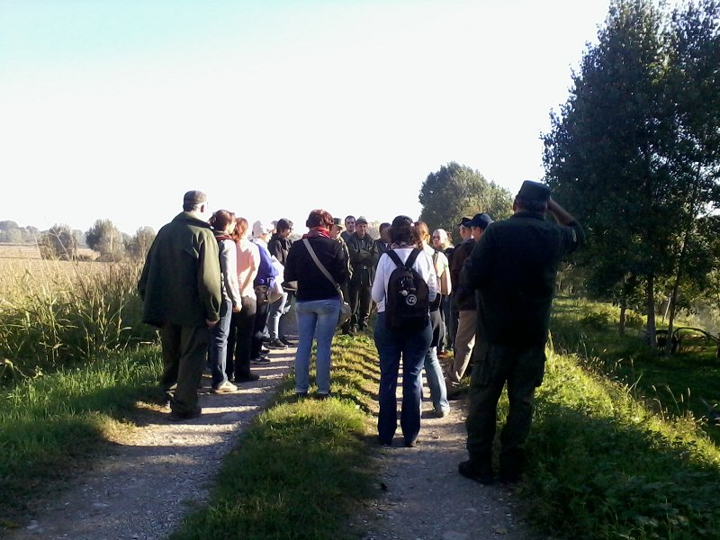
There are many opportunities to discover the Oglio Sud Park with expert guides: some are specialized in offering educational proposals, others to accompany groups of adults into our paths, on foot or by bike.
Guides and couriersSpecial Project Agriculture
The Projects by Oglio Sud Park
With "Progetto Speciale Agricoltura", Oglio Sud Park aims at continuing in its intervention on the productive reality of the agricultural world, operating in the protected areas. Without a doubt, agricultural activity plays an essential role in the safeguard of the environment, provided that it works in harmony with the environment and the territory needs.
According to the Community Regulations and with the Rural Development Plan by Regione Lombardia, "Progetto Speciale Agricoltura" includes incentives for the interventions aimed at reducing the impact of agricultural activities on the environment or aimed at environmental requalification. In this way, services related to environment and dedicated to the community will be introduced into the rural production network (landscape safeguard, agricultural tourism development, and environmental education).
The initiatives elaborated to carry out "Progetto Speciale Agricoltura" include:
- Preliminary initiatives;
- Direct initiatives consisting of prizes, like economic incentives or refund of the expenses and Conventions or contracts with farmers
The aims which can be pursued through the synergies between the Park and the agricultural entrepreneurs are:
- using Community funds for the agricultural and environmental fields
- reducing the impact of some activities on environment through the introduction of "cleaner" systems;
- requalifying the environment of the most fragile areas
- enlarging natural areas;
- reducing the damages caused by some species of wild fauna;
- safeguarding wild fauna populations
- recovering and using marginal or not very productive areas for agricultural and forest aims
The initiatives planned in "Progetto Speciale Agricoltura", which the Park is going to carry out in the following months, are:
- delivering economic incentives, by previous regulation of the scheduled surveys;
- drawing up conventions (agreements) with the agricultural firms to carry out intervention and plant assistance;
- signing of contracts for services on Park behalf (maintenance of nature trails and afforestation);
- offering an Information Point Service;
- organizing Training Courses;
- organizing events in the firms.
Since 1999, about 60 agricultural holdings have joined "Progetto Speciale Agricoltura": they have signed 110 agreements or contracts. The measures implemented have been 248.
Conservation Measures in Le Torbiere Nature Reserve in Marcaria
The Projects by Oglio Sud Park
The project, with a sum of Euros 300,000, is financed by Regione Lombardia within the Agreement Quadro Ambiente Energia 2003 and supported by a financing of Fondazione Cariplo within the program "Gestione Integrata delle fasce fluviali" of Oglio Sud Park.
The territory needs urgent measures aimed at the hydrogeological rebalancing and the reclamation of the water in the ponds, at the increase in environmental diversity, through the acquisition of cultivated areas near the natural environments, so that their renaturalization might create new kinds of habitats for the birds nesting or spending the winter in the area, as well as for migratory birds. In this way, there will also be a reduction of the bother caused by human activities carried out within the Torbiera. The complex of measures is aimed at increasing the specific local richness and at promoting a much more efficient and compatible didactic use of the area.
A synthesis of the aims of the project:
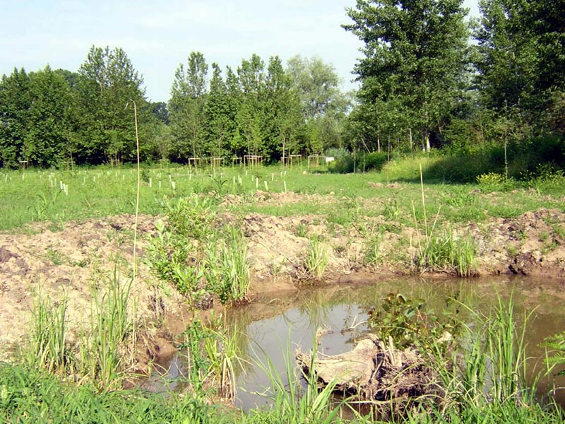
- hydrogeological rebalancing, conservation of local hygrophilous features and reclamation of the ponds; to this aim, works to divert water from the irrigation network and the draining of the sediments from the ponds have been carried out;
- consolidation and increase of the fauna, thanks to the acquisition of adjacent areas, which have been renaturalized through the creation of natural-like neo-ecosystems like swamps, hygrophilous grassland, and wood, typologies which are nowadays scarcely present in the site.
Moreover, the creation of these habitats, together with the planting of shrub edges and tree rows, might increase the environmental diversity and promote a greater protection of the environments situated right in the heart of the Reserve, where the most important and exclusive bird species concentrate. The neo-formation natural environments will house didactic activities and visits, which now disturb and limit the presence of fauna; to this aim, in these area schield paths and adequate structures will be placed in order to ensure a careful and respectful fruition of the environmental values of the area.
With these measures we hope to achieve an improvement of the environmental quality, the conservation of habitats in typical hygrophilous conditions and, thanks to it, the permanence of the adequate conditions for the stop and the reproduction of the faunisitic species characterizing these habitats. Thanks to the elimination of the human factors leading to degradation, we hope that the value of the site will be acknowledged and that the local communities will be more respectful towards the place.
To this aim, we carried out:
- interventions on the physical environment
- interventions on vegetation
- interventions favoring the fruition of the place
- interventions on the physical environment, recovery of the conditions of water supply.
Further information (Italian text)
'Fili d'acqua Project', The Land between the two Rivers
The Projects by Oglio Sud Park
Recovery of perifluvial areas and naturalistic enhancement in the plain between the rivers Oglio and Po
The project includes revitalization and ecological renaturation measures of the surface water network and the adjacent areas of the river Po and Oglio, in the Mantovana, Cremonese, and Casalasca plains, in environments presenting similar ecosystem features. The project supports thus a general principle of multifunctional enhancement of the water network not limited to natural watercourses, but enlarged to the drainage channels and some artificial basins deriving from abandoned basin cultivations that can play a precious role of ecological corridors, in an intensely cultivated plain, between the two main rivers. The measures aim at guaranteeing a high transferability of procedures linked to the management of surface watercourses.
The general administrative coordination of the project, co-financed by FONDAZIONE CARIPLO, is entrusted to Parco Sovracomunale del Po e del Morbasco, while the general coordination of the revitalization actions, the monitoring of the measures, and the supervision of the revitalization plans will be carried out by Consorzio Parco dell'Oglio Sud. Provincia di Cremona will collaborate as far as the revitalization measures of the areas of naturalistic interest (marshes, protected areas, ecological corridors) and the wildlife and vegetational monitoring activities are concerned.
DEM.O.S. Project
The Projects by Oglio Sud Park
Public River Property Management in Oglio Sud Park
Oglio Sud Park extends along the river banks of the lower course of the river Oglio, from the confluence of the river Mella to the mouth in Po, for a total of 70 km. Here the nature features are scarce and the flood plains are mainly covered with poplars cultivations, but also with sowable lands and nurseries. Only the 5% of the Park territory is covered with natural vegetal formations, consisting of wetlands (ponds, oxbows, etc.) and small woodland formations (willow groves and alder woods). According to the quality of the river waters, deduced from the data of the "Oglio Project" and confirmed by the official data provided by the Provinces, the environment is very polluted or degraded. The ecological functionality of the river, enabling a self-depuration of the waters, is limited by the artificial features of its strips.
The Project
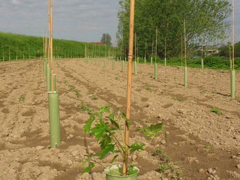
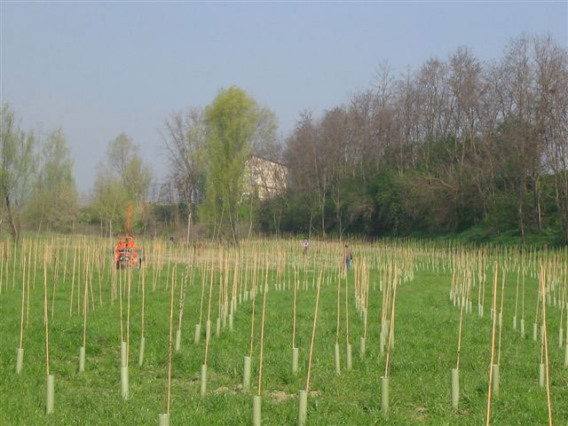
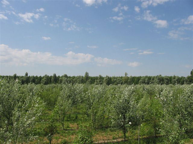
The Dem.O.S. Project aims at recovering the continuity of the natural environment along the river by planting new woodlands and arboreal strips in the public flood plains and at managing the small existing woodlands.
We have carried out a research in the land register to find out the public lands, and we have found 133 useful areas. Afterwards, we have prepared a digital cartography illustrating the involved areas as polygons linked thanks to GIS programs (geographic information system) to a database containing all the information on the parcels (distinctive code, cadastral data, area, vegetal covering,...)
According to the information collected, we have decided the intended use, going from the forest-naturalistic use, useful to recover the continuity of the natural environments, to bumper areas used to intercept the widespread pollution going from the cultivated areas to the river, to the areas dedicated to educational-recreational purposes, useful to discover the environment and its problems.
... Where have we got up to?
In the period going from autumn 2003 to spring 2007, the Park has recovered about 35 hectares of woodlands planting over 60,000 trees and shrubs, involving the local farmsteads and collaborating with the schools which, through environmental education projects, have "adopted" the revitalized areas using them as "outdoor educational workshops".


