Parco delle Groane e della Brughiera Briantea
www.parcogroane.itItineraries
To the south there are cycle paths, or rather cycle-pedestrian paths, while to the north there is a dense network of footpaths. Let's be honest: there is something for everyone who wants to visit the Groane and Brughiera Briantea Park, or spend a few relaxing hours on their bicycle or with Nordic walking poles (but also without).
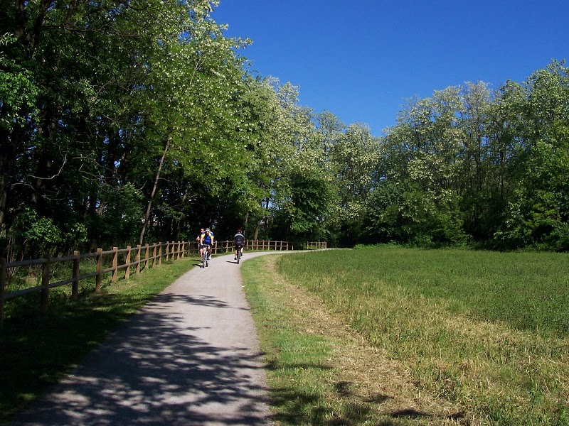
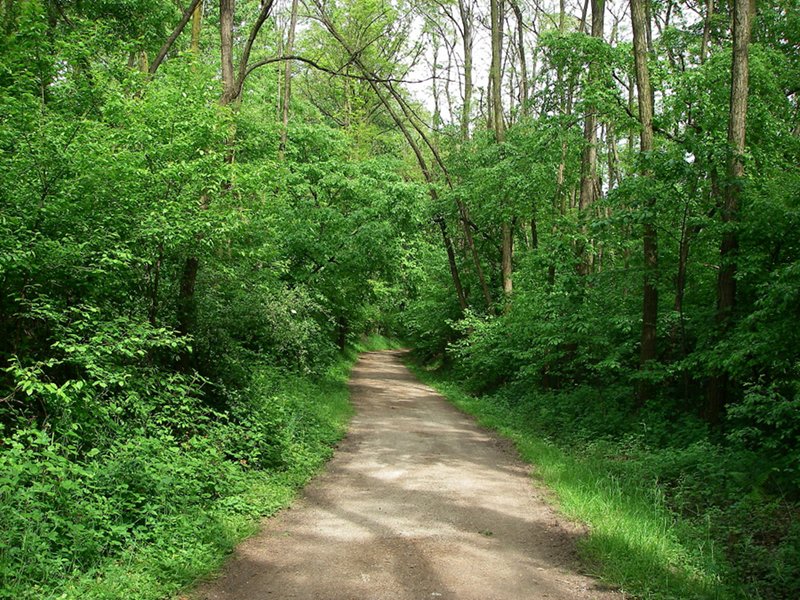
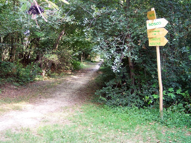
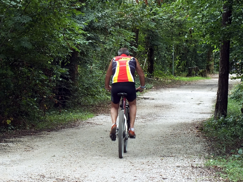
The southern part of the regional protected area is criss-crossed by more than 50 km of battered earth cycle paths, suitable for all routes. They do not have any particular altimetrical difficulties and the vast majority can be covered with normal sports bicycles. In the northern part, a dense network of paths crosses the entire Brughiera Briantea area, including four thematic routes and the famous Meda-Montorfano.
parcogroane.webeasygis.it/?app=groane&guest
This is a browsable map portal of the protected area available directly on the web, and it allows you to geolocalise anywhere in the Park's 8,000 hectares. It contains geographical, tourist and recreational information and functions.
For more information on the portal: www.parcogroane.it/webgis-parco-delle-groane-tutte-le-info
Epic-Land Project: percorsi.parcogroane.it
Itineraries on Foot
Cycle Itineraries
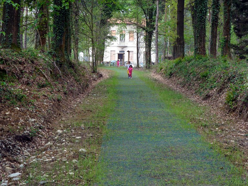
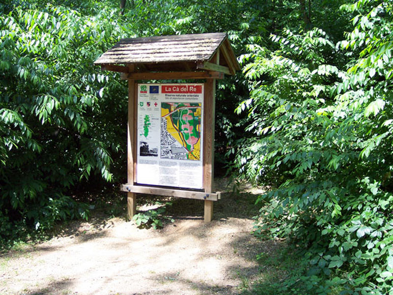
Groane Park is characterized by a rich network of cycle facilities which is constantly improved and increased. It is already possible to spend a whole day by bike among woodlands, moorlands, and cultivated fields remaining in the heart of the metropolis. The facilities leave from Cesate pinewood, runs along Corso Europa first, and then Cà del Re Nature Reserve, it passes under the SS road Bustese (Saronno-Monza), and reaches the Park Center "Polveriera" in Solaro.
From here, the itinerary continues towards the north: along an old military building, the railway line (the underpass is under construction), it crosses the woodlands of Ceriano Laghetto (the nice pond of "Foppa di S. Dalmazio" is worth a visit). From the woodlands, the itinerary leads to the plateau of Seveso, a wide moorland where a rare species of willow survives.
Further information (in Italian)


