Itineraries
Itineraries in the Sources of Lura Stream Park
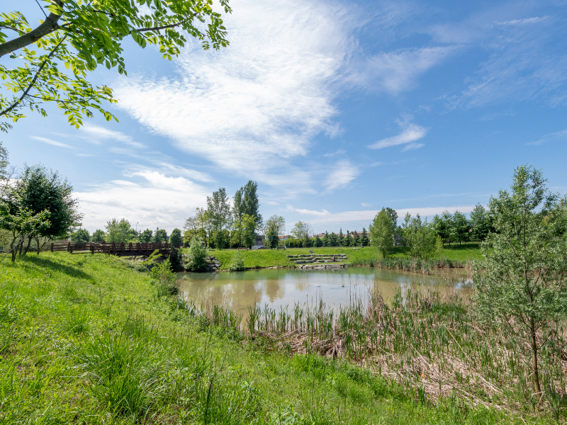
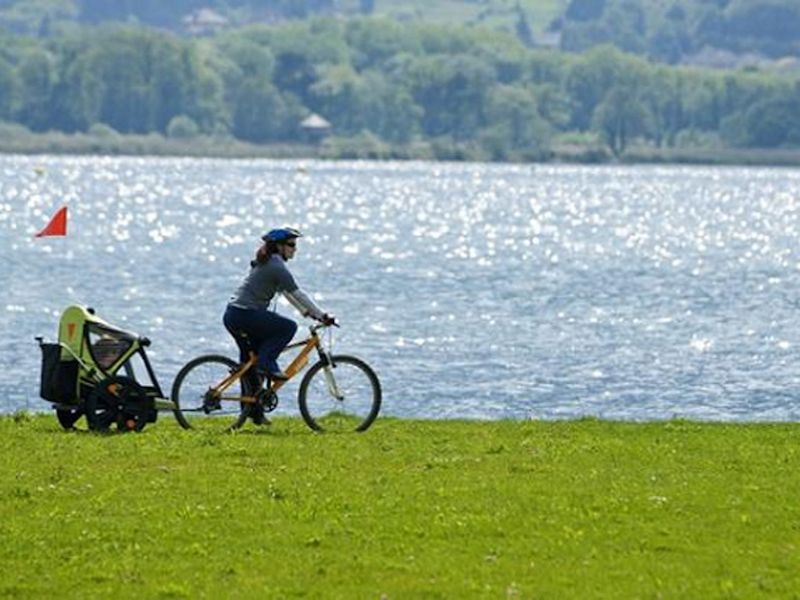
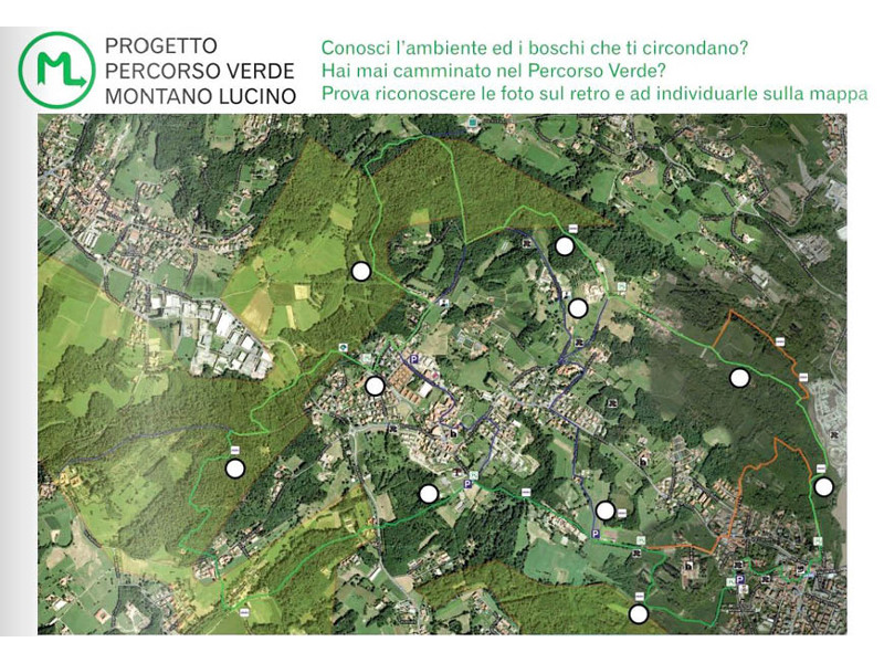
The Sources of Lura Stream Park is crossed by many paths throughout its extension. Each municipality in the Park has several accesses to the protected area, connecting the built-up areas to the natural ones. The main route crosses the Park from north to south, following the course of the Lura valley, but there are many connections from east to west.
The Park's path network is connected to the routes of neighbouring parks, such as the Lura Park to the south; the Park of the Breggia Gorges, on Swiss territory, to the north; the Pineta Park and the Valle del Lanza Park to the west and the Spina Verde Park to the east.
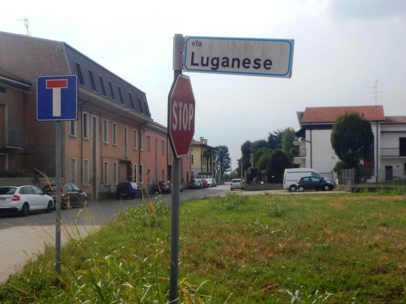
Of historical importance is the presence of the Via Luganese or Cavallina route, which in some places overlaps with the itinerary that crosses the Park from north to south. In the Middle Ages, together with other similar roads, it was the axis of an important network connecting Milan area to Mendrisiotto and Lugano, which is still clearly visible in the elements that make up today's landscape: the rural layout, the toponymy of the city road network, the presence of chapels and shrines.


