Parks.it Homepage
 

Itineraries

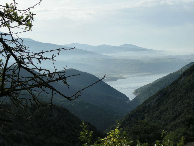
The great traverse of the Park from south to north in 7 laps

It mainly consists of itineraries of intermediate difficulty or not very demanding itineraries leading to visit some of the most important historical, archaeological, and speleological features of the area or its most interesting panoramas.

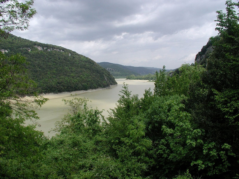
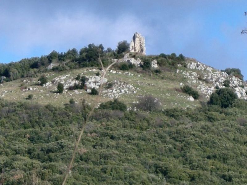
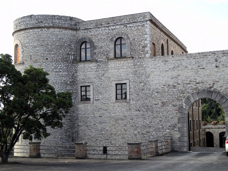
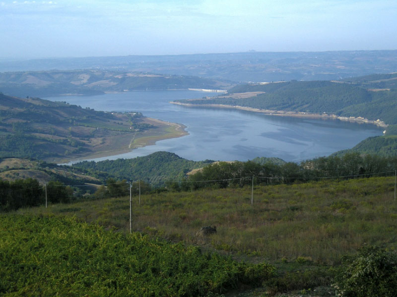
Lake of Prodo Castle
The Great Traverse of the Tevere (GTT)
The great traverse of the Park from south to north in 7 laps
Typology: On foot
Difficulty Level: E - Hiking (level)
Interest: Panorama, Archeology, History
Duration: 4 h
Duration: 4 h 30 m
Duration: 5 h
Duration: 3 h 50 m
Duration: 5 h

Trails in River Tevere Park

Other itineraries work as "link trails" and offer the possibility to combine various itineraries to carry out long routes or ring-routes.

5-Fountains Walk
5-Fountains Walk
Departure: Civitella del Lago
Map with georeferenced itinerary
Typology: On foot
Difficulty Level: T - Tourist (level)
Duration: 30 m
Interest: History
Alviano - Guardea Trail
Departure: Alviano
Map with georeferenced itinerary
Typology: On foot
Difficulty Level: E - Hiking (level)
Duration: 7 h
Interest: Panorama, History, Photography
Alviano - Madonna del Porto Trail
Map with georeferenced itinerary
Typology: On foot
Difficulty Level: E - Hiking (level)
Duration: 9 h
Interest: Flora, Wildlife
Baschi - Corbara Dam Trail
Map with georeferenced itinerary
Typology: On foot
Difficulty Level: E - Hiking (level)
Duration: 3 h 30 m
Interest: History
Map with georeferenced itinerary
Typology: On foot
Difficulty Level: E - Hiking (level)
Duration: 7 h
Interest: Flora, Panorama, Photography
Civitella Trail
Civitella Trail
Departure: Civitella del Lago
Map with georeferenced itinerary
Typology: On foot
Difficulty Level: E - Hiking (level)
Duration: 6 h
Interest: Panorama, Photography
Doglio - Titignano
Doglio - Titignano
Departure: Doglio
Map with georeferenced itinerary
Typology: On foot
Difficulty Level: E - Hiking (level)
Duration: 3 h 30 m
Interest: Flora, Panorama
Melezzole Trail
Melezzole Trail
Departure: Melezzole
Map with georeferenced itinerary
Typology: On foot
Difficulty Level: E - Hiking (level)
Duration: 3 h 30 m
Interest: Flora, Wildlife, Panorama, Photography
Monte Pianicel Grande
Map with georeferenced itinerary
Typology: On foot
Difficulty Level: T - Tourist (level)
Duration: 2 h
Interest: Panorama, Religion, Photography
Prodo - Asproli
Prodo - Asproli
Departure: Prodo
Map with georeferenced itinerary
Typology: On foot
Difficulty Level: E - Hiking (level)
Duration: 9 h
Interest: Flora, Wildlife, Panorama
The Wind Trail
The Wind Trail
Departure: Civitella del Lago
Map with georeferenced itinerary
Typology: On foot
Difficulty Level: E - Hiking (level)
Duration: 4 h
Interest: Flora, Geology
Titignano Trail
Titignano Trail
Departure: Titignano
Map with georeferenced itinerary
Typology: On foot
Difficulty Level: E - Hiking (level)
Duration: 7 h
Interest: Wildlife, Panorama, Photography
Trail A of Montecchio
From loc. I Poggi to the Monastery of Sant'Andrea
Departure: I Poggi
Map with georeferenced itinerary
Typology: On foot
Difficulty Level: E - Hiking (level)
Duration: 5 h 30 m
Interest: Flora, History
Trail B of Montecchio
From M. Pozzo Callarano to the Monastery of Sant'Andrea
Map with georeferenced itinerary
Typology: On foot
Difficulty Level: E - Hiking (level)
Duration: 4 h 30 m
Interest: Flora, Panorama, History
Trail C of Montecchio
Montecchio Trail
Departure: Montecchio
Map with georeferenced itinerary
Typology: On foot
Difficulty Level: E - Hiking (level)
Duration: 5 h 30 m
Interest: Flora, Panorama, Photography
Trail D of Montecchio
M. Pozzo Callarano, Melezzole, La Posta del Prete
Map with georeferenced itinerary
Typology: On foot
Difficulty Level: E - Hiking (level)
Duration: 3 h
Interest: Flora, Panorama, History, Photography
Itinerary of the Scoglio del Salveregina
Typology: On foot
Difficulty Level: E - Hiking (level)
Duration: 4 h
Interest: Flora, Geology, Religion

The difficulty levels refer to the CAI – UIAA international scale:
=  Tourist
Itineraries along narrow roads, mule tracks, or easy trails with no particular difficulties or orienteering problems.
= Hiking
Itineraries mainly developing on trails or tracks, usually with trail markers. They can also develop on steep trails, even if the exposed stretches are usually protected. They require good orienteering skills, as well as a good knowledge of the mountain territory, physical training, as well as adequate shoes and equipment.
EE  = For expert hikers.
EEA  = For expert hikers, with equipment.


Guided visits in the Park territory: Cultural Association Acqua
 - Contact: mirko.pacioni@libero.it - Tel. and Fax +39 0763 374200 - mobile +39 328 5430394

share-stampashare-mailQR Codeshare-facebookshare-twitter
© 2025 - Regione Umbria