Itineraries
Itineraries in the Park
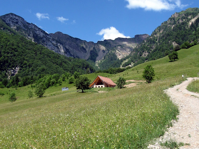
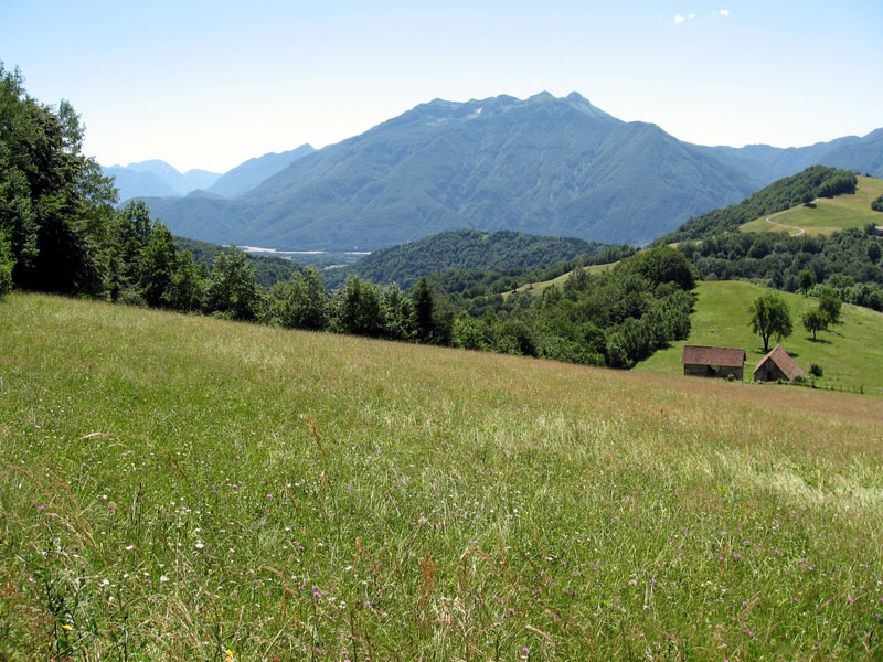
The territory of Parco Intercomunale delle Colline Carniche has been named after the gentle hills characterizing it. The six itineraries we suggest give the opportunity to discover all of it and can be an easy and interesting alternative for cultural and naturalistic tours and walks suitable for everyone; it takes half an hour to reach the Park from Udine, taking the highway A4.
The territory includes one of the largest and most fertile plains of Carnia and plays an important role as crossroads between the two SS roads, one leading to Upper Val Tagliamento and Cadore, the other towards Canale di Gorto and Austria.
These itineraries touch the towns of Villa Santina and Invillino, Raveo and Esemon di Sopra, Enemonzo and its country hamlets.
Itineraries in Villa Santina and Invillino
Villa Santina and Invillino can be easy and interesting destinations for cultural and naturalistic tours dedicated to everyone. They are situated in the area between the confluences of the streams Degano and Vinadia with the river Tagliamento and are within Parco Intercomunale delle Colline Carniche, named after the gentle hills characterizing it.
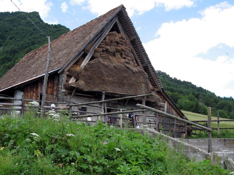
The territory includes one of the largest and most fertile plains of Carnia and plays an important role as crossroads between the two SS roads, one leading to Upper Val Tagliamento and Cadore, the other towards Canale di Gorto. Villa Santina and Invillino, with no more than 1.5 km far one from the other, are characterized by ancient houses preserving the original features of the minor architecture typical of Carnia.
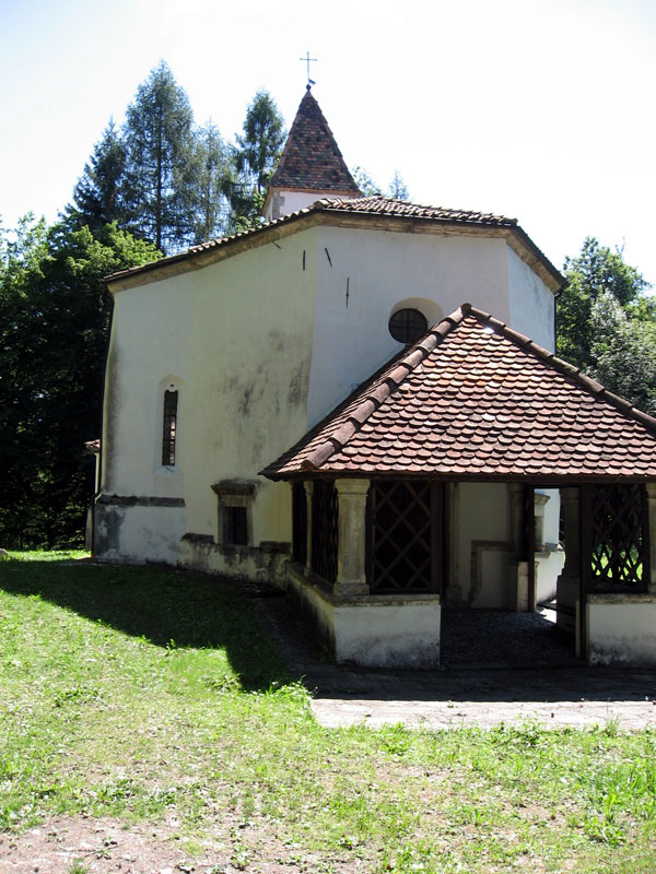
The administrative center was quoted for the first time in a document of 1126 and its name derives from Colle Santino, probably a place characterized by human settlements since prehistorical times, above the town of Invillino.
The country hamlet is more ancient than the administrative center, and is one of the localities of Carnia that has been largely quoted by the historians.
Between Villa Santina and torrent Degano there is the most precious landscape area: the Pinewood, about 60 hectares of woodland crossed by trails and watercourses.


